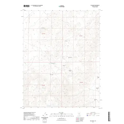
2021 Map of Bellehelen
USGS Topo · Published 2021About this map
Kawich Range dominates the central portion of this Nye County landscape, rising between the expansive Stone Cabin Valley to the west and Reveille Valley to the east. The rugged topography is deeply incised by drainages such as Bellehelen Canyon, Mikes Canyon, and Craig Canyon. Hydrological features are primarily limited to isolated springs and falls, including Radium Spring, Clifford Spring, and the seasonal Jackson Falls. Notable high points like Castle Rock and Squawtip provide distinct landmarks for orienteering in this high-desert environment. To the south, the presence of Bellehelen Lake Number One and Bellehelen Lake Number Two suggests ephemeral water collection points in an otherwise arid basin. The map reflects a modern topographical record of a remote region where the names often echo early mining or ranching history.
Find a feature on this map
23 named features on this map. Tap any name to fly to it.
Don’t see what you’re looking for? This feature index may not catch every label — zoom into the map to look around manually.
Map Details
Editions of this 2021 Bellehelen Map
This is the sole edition of this map. No revisions or reprints were ever made.
Other maps of this area

1908 · Kawich
USGS Topo · 1:250,000

1942 · Cactus Range
USGS Topo · 1:125,000

1942 · Reveille Peak
USGS Topo · 1:125,000

1952 · Stinking Spring
USGS Topo · 1:62,500

1952 · Kawich Peak
USGS Topo · 1:62,500

1954 · Goldfield
USGS Topo · 1:250,000

1955 · Goldfield
USGS Topo · 1:250,000

1956 · Tonopah
USGS Topo · 1:250,000

1958 · Goldfield
USGS Topo · 1:250,000

1959 · Tonopah
USGS Topo · 1:250,000