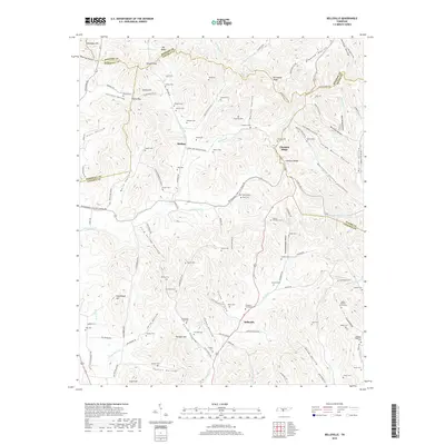
2019 Map of Belleville
USGS Topo · Published 2019About this map
Belleville and the surrounding Lincoln County highlands are defined by a complex network of hollows and ridges where the border of Bedford and Marshall counties meet. The landscape is dense with small family burial grounds, such as the Ashby-Warden-Groce Cem and McGee-Waggoner Cem, reflecting a long history of local kinship and rural settlement. Many of these sites are tucked away in the geographic folds of the terrain, including Epps Hollow and Stoneborough Hollow.
Find a feature on this map
132 named features on this map. Tap any name to fly to it.
Don’t see what you’re looking for? This feature index may not catch every label — zoom into the map to look around manually.
Map Details
Editions of this 2019 Belleville Map
This is the sole edition of this map. No revisions or reprints were ever made.
Other maps of this area

1936 · Booneville
USGS Topo · 1:24,000

1936 · Shelbyville
USGS Topo · 1:24,000

1936 · Belfast
USGS Topo · 1:24,000

1936 · Belleville
USGS Topo · 1:24,000

1936 · Boonshill
USGS Topo · 1:24,000

1936 · Petersburg
USGS Topo · 1:24,000

1936 · Bedford
USGS Topo · 1:24,000

1936 · Mulberry
USGS Topo · 1:24,000

1936 · Fayetteville
USGS Topo · 1:24,000

1944 · Shelbyville
USGS Topo · 1:100,000