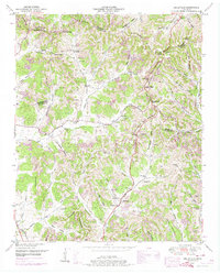
1949 Map of Belleville
USGS Topo · Published 1974About this map
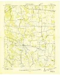
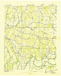
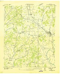
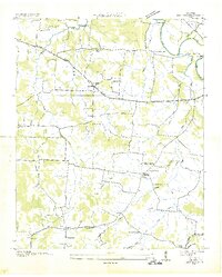
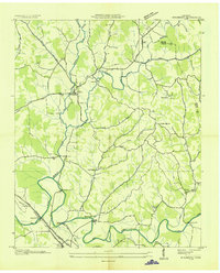
Belleville serves as a central point in this late 1940s landscape, where the ridges of Middle Tennessee dictate the layout of roads and settlements. This map highlights the rural density of the era, marked by an exceptional number of family cemeteries and country churches that anchored these upland communities. Notable religious sites like Chestnut Ridge Church, Hickory Hill Church, and Stony Point Church are scattered across the high ground of Richmond Ridge and Chestnut Ridge. The topography is defined by intricate drainage patterns, with Norris Creek and Stoneborough Creek carving through the terrain near Bledsoe. Genealogists will find a wealth of specific data in the numerous burial grounds, including Warren Cemetery, Nichols Cemetery, and Wylie Cemetery, which offer a clear view of the ancestral footprint in this corner of Lincoln County.
Find a feature on this map
77 named features on this map. Tap any name to fly to it.
Don’t see what you’re looking for? This feature index may not catch every label — zoom into the map to look around manually.
Map Details
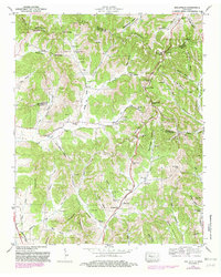
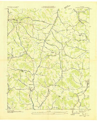
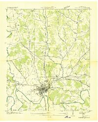
Editions of this 1949 Belleville Map
2 editions found
Other maps of this area
1936 · Booneville
USGS Topo · 1:24,000
1936 · Shelbyville
USGS Topo · 1:24,000
1936 · Belfast
USGS Topo · 1:24,000

1936 · Belleville
USGS Topo · 1:24,000
1936 · Boonshill
USGS Topo · 1:24,000
1936 · Petersburg
USGS Topo · 1:24,000
1936 · Bedford
USGS Topo · 1:24,000
1936 · Mulberry
USGS Topo · 1:24,000
1936 · Fayetteville
USGS Topo · 1:24,000

1944 · Shelbyville
USGS Topo · 1:100,000