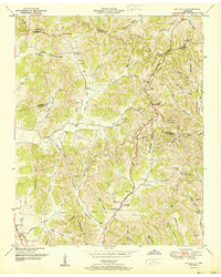
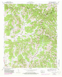
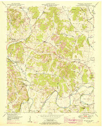
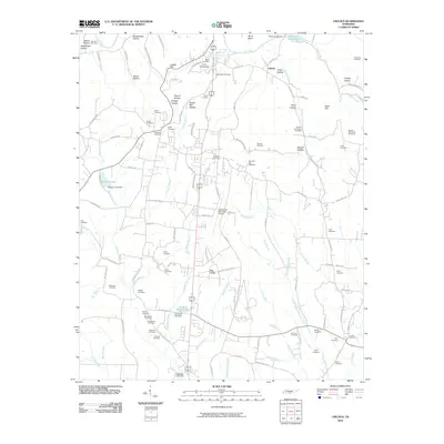
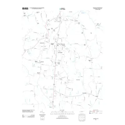
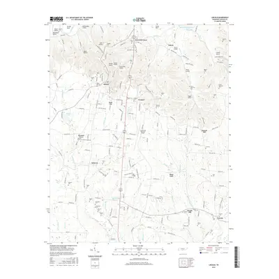
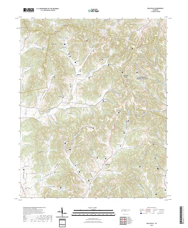
1951 Map of Belleville
USGS Topo · Published 1951About this map
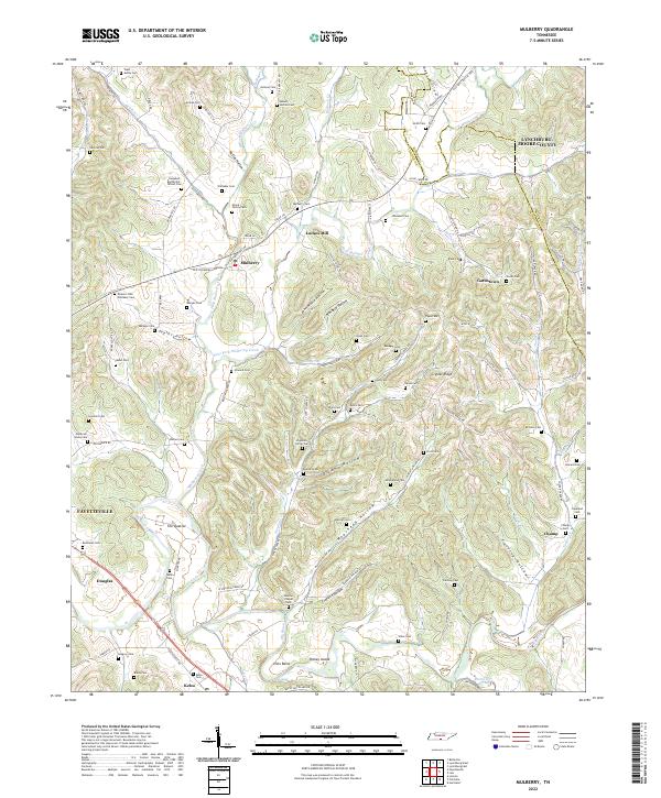
Belleville and its surrounding hollows are defined by an intricate network of family homesteads and community landmarks situated where the borders of Lincoln, Marshall, Bedford, and Moore counties converge. This mid-century landscape is marked by a high density of rural burial grounds, including the Conwell Cem, Sorrells Cem, and Bledsoe Cem, suggesting a long-established ancestral presence in the valleys of Norris Creek and Mulberry Creek.
Find a feature on this map
105 named features on this map. Tap any name to fly to it.
Don’t see what you’re looking for? This feature index may not catch every label — zoom into the map to look around manually.
Map Details
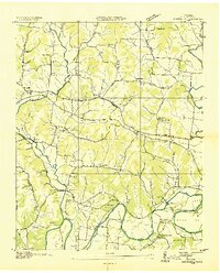
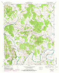
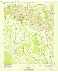
Editions of this 1951 Belleville Map
2 editions found
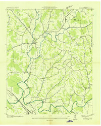
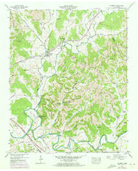
Historical Maps of Lynchburg Through Time
31 maps found

1936 Belleville
Lincoln County, TN
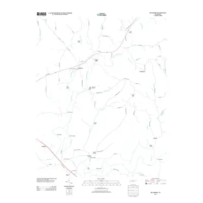
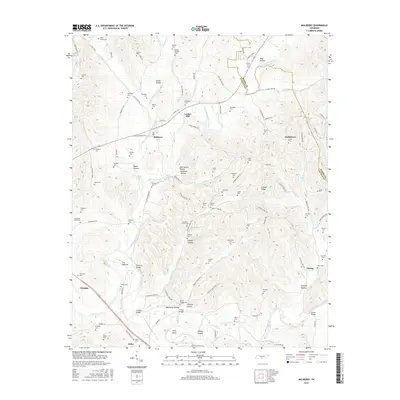
1936 Boonshill
Lincoln County, TN

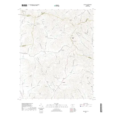
1936 Lincoln
Lincoln County, TN
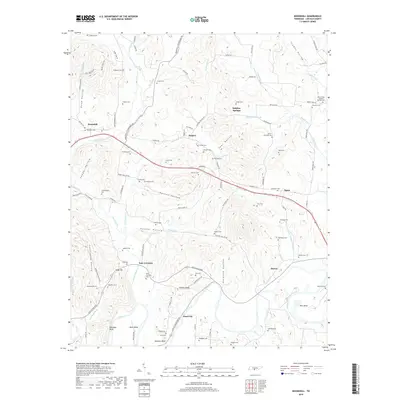
1936 Mulberry
Lincoln County, TN
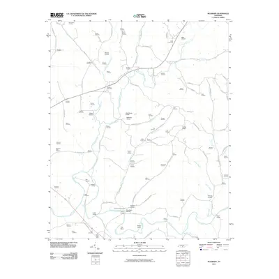
1947 Mulberry
Lincoln County, TN
1949 Belleville
Lincoln County, TN
1949 Boonshill
Lincoln County, TN
1949 Lincoln
Lincoln County, TN
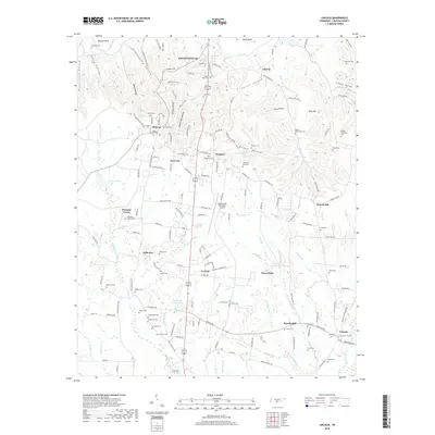
1951 Belleville
Lincoln County, TN
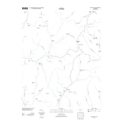
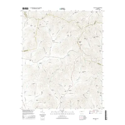
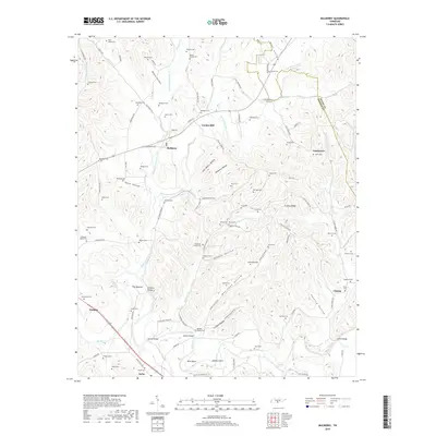
1951 Boonshill
Lincoln County, TN
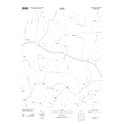
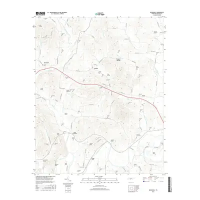
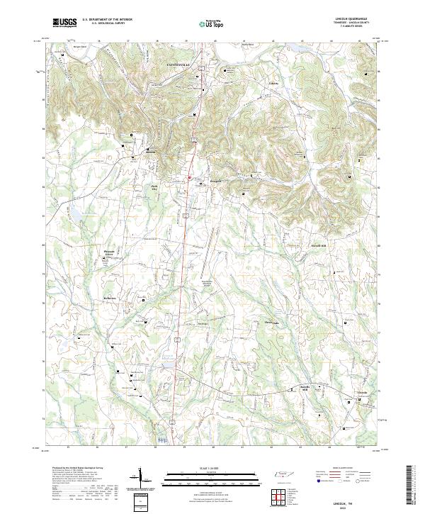
1951 Lincoln
Lincoln County, TN
2010 Belleville
Lincoln County, TN
2010 Boonshill
Lincoln County, TN
2010 Lincoln
Lincoln County, TN
2010 Mulberry
Lincoln County, TN
2013 Belleville
Lincoln County, TN
2013 Boonshill
Lincoln County, TN
2013 Lincoln
Lincoln County, TN
2013 Mulberry
Lincoln County, TN
2016 Belleville
Lincoln County, TN
2016 Boonshill
Lincoln County, TN
2016 Lincoln
Lincoln County, TN
2016 Mulberry
Lincoln County, TN
2019 Belleville
Lincoln County, TN
2019 Boonshill
Lincoln County, TN
2019 Lincoln
Lincoln County, TN
2019 Mulberry
Lincoln County, TN
2022 Belleville
Lincoln County, TN
2022 Boonshill
Lincoln County, TN
2022 Lincoln
Lincoln County, TN
2022 Mulberry
Lincoln County, TN