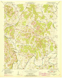
1951 Map of Belleville
USGS Topo · Published 1967About this map
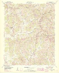
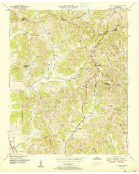
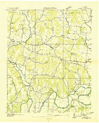
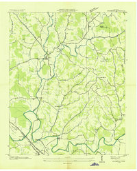
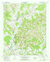
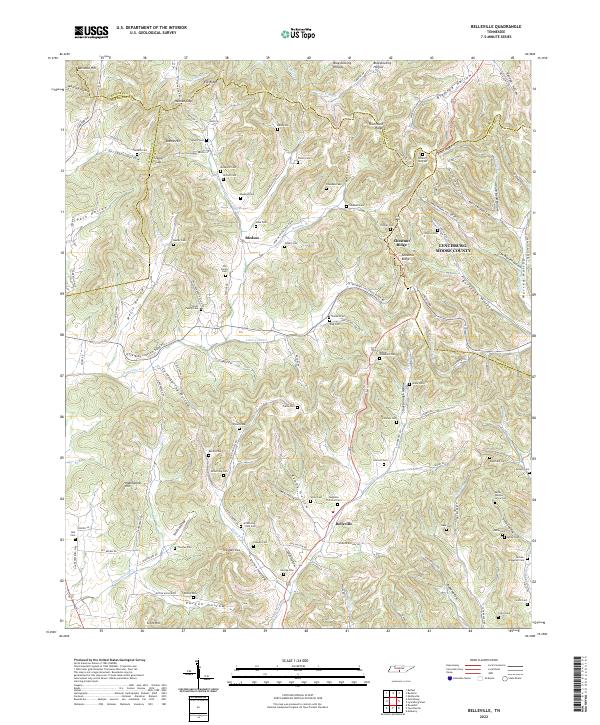
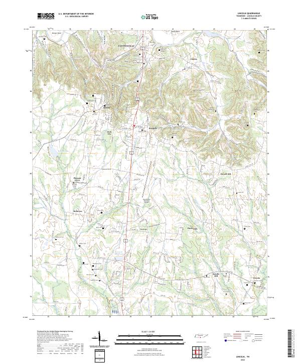
Belleville and the surrounding highlands of the Elk Ridge and Chestnut Ridge define this landscape at the intersection of Lincoln, Marshall, Bedford, and Moore Counties. The map reveals a deeply etched topography of named hollows, such as Stoneborough Hollow and Ashby Hollow, where family-named cemeteries like Sorrells Cem and Nichols Cem testify to generations of rural settlement. The road network, including the Florida Short Route, connects small community centers and spiritual landmarks like Hannah Gap Church and Mt Hebron Ch. Watercourses including Norris Creek and Little Cane Creek drain the narrow valleys, providing the geographic framework for the agricultural and timbered slopes of the mid-20th century. This document captures the distribution of rural farmsteads and rural infrastructure before modernization altered many of these interior Tennessee corridors.
Find a feature on this map
79 named features on this map. Tap any name to fly to it.
Don’t see what you’re looking for? This feature index may not catch every label — zoom into the map to look around manually.
Map Details
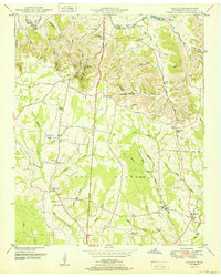
Editions of this 1951 Belleville Map
2 editions found
Historical Maps of Belleville Through Time
15 maps found

1936 Belleville
Lincoln County, TN
1936 Boonshill
Lincoln County, TN

1936 Lincoln
Lincoln County, TN
1936 Mulberry
Lincoln County, TN
1947 Mulberry
Lincoln County, TN
1949 Belleville
Lincoln County, TN
1949 Boonshill
Lincoln County, TN
1949 Lincoln
Lincoln County, TN
1951 Belleville
Lincoln County, TN
1951 Boonshill
Lincoln County, TN
1951 Lincoln
Lincoln County, TN
2022 Belleville
Lincoln County, TN
2022 Boonshill
Lincoln County, TN
2022 Lincoln
Lincoln County, TN
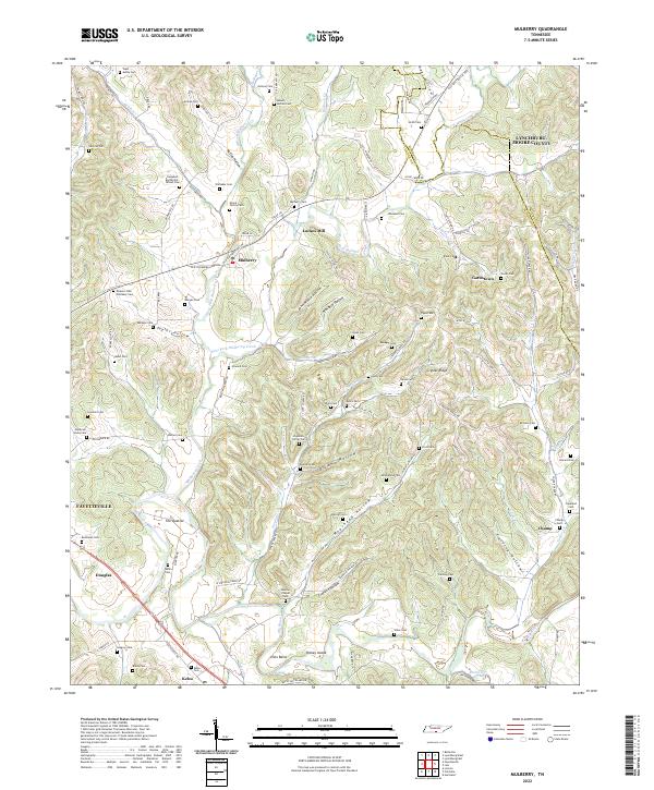
2022 Mulberry
Lincoln County, TN