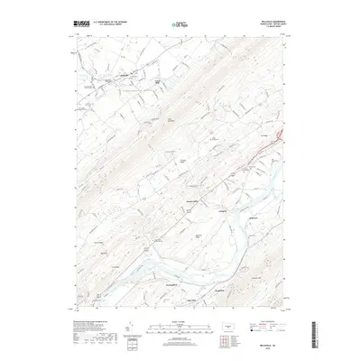
2019 Map of Belleville
USGS Topo · Published 2019About this map
Kishacoquillas Valley and the surrounding ridges of Mifflin County are defined here by a dense network of family cemeteries and small mill settlements. The topographic character of the region is dominated by the parallel rises of Jacks Mountain, Big Ridge, and Chestnut Ridge, which frame the agricultural and residential corridors. Settlement is concentrated in the town of Belleville and scattered through smaller hamlets like Union Mills, Strodes Mills, and Pine Glen.
Find a feature on this map
111 named features on this map. Tap any name to fly to it.
Don’t see what you’re looking for? This feature index may not catch every label — zoom into the map to look around manually.
Map Details
Editions of this 2019 Belleville Map
This is the sole edition of this map. No revisions or reprints were ever made.
Other maps of this area
1919 · Mattawana
USGS Topo · 1:62,500
1919 · Menno
USGS Topo · 1:62,500
1922 · Mt Union
USGS Topo · 1:48,000
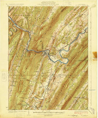
1924 · Mt. Union
USGS Topo · 1:62,500
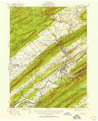
1924 · Lewistown
USGS Topo · 1:62,500
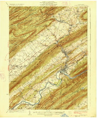
1927 · Lewisburg
USGS Topo · 1:62,500
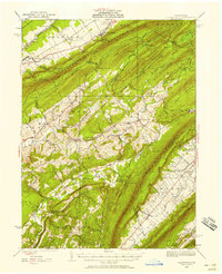
1935 · Allensville
USGS Topo · 1:62,500
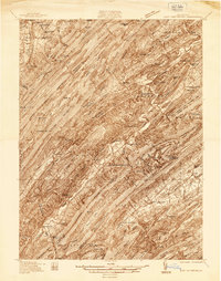
1936 · East Waterford
USGS Topo · 1:48,000
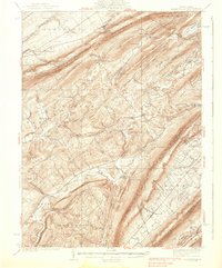
1938 · Allensville
USGS Topo · 1:62,500
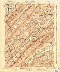
1941 · East Waterford
USGS Topo · 1:62,500
Featured Places
- Granville Township, PA
- Menno Township, PA
- Bratton Township, PA
- Horningford, Bratton Township
- Strodes Mills, Granville Township