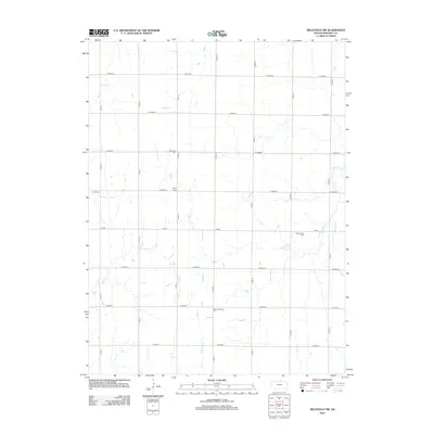
2012 Map of Belleville NW
USGS Topo · Published 2012About this map
Liberty Cem and Stephenson Cem are key landmarks in this rural landscape of northern Republic County, defined by a rigid grid of county roads and meandering stream beds. The terrain is structured by thoroughfares such as Fir Rd and Co Road E, while the natural drainage follows a complex network of waterways including Rose Creek and Dry Creek. The placement of Saint Josaphats Cem near West Creek reflects the historical settlement patterns of the region, where community burial grounds were often established on high ground adjacent to water sources. This 2012 survey illustrates how modern agricultural land management remains deeply integrated with the natural topography of the Kansas plains.
Find a feature on this map
23 named features on this map. Tap any name to fly to it.
Don’t see what you’re looking for? This feature index may not catch every label — zoom into the map to look around manually.
Map Details
Editions of this 2012 Belleville NW Map
This is the sole edition of this map. No revisions or reprints were ever made.
Other maps of this area

1892 · Concordia
USGS Topo · 1:125,000

1898 · Hebron
USGS Topo · 1:125,000

1955 · Manhattan
USGS Topo · 1:250,000

1955 · Lincoln
USGS Topo · 1:250,000

1956 · Manhattan
USGS Topo · 1:250,000

1957 · Manhattan
USGS Topo · 1:250,000

1957 · Lincoln
USGS Topo · 1:250,000

1958 · Lincoln
USGS Topo · 1:250,000

1960 · Byron
USGS Topo · 1:24,000

1960 · Chester
USGS Topo · 1:24,000