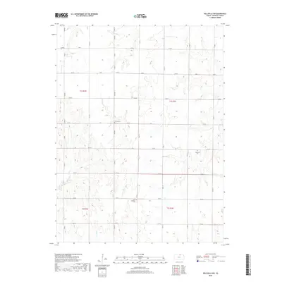
2018 Map of Belleville NW
USGS Topo · Published 2018About this map
The rolling agricultural landscape of Republic County is defined by a network of seasonal watercourses and local section roads. Drainage patterns are shaped by several named streams, including Dry Cr in the northwest and Rose Cr which winds through the central terrain. These creeks historically dictated the placement of roads and homesteads, as seen in the grid of routes like Co RD B and Diamond.
Find a feature on this map
36 named features on this map. Tap any name to fly to it.
Don’t see what you’re looking for? This feature index may not catch every label — zoom into the map to look around manually.
Map Details
Editions of this 2018 Belleville NW Map
This is the sole edition of this map. No revisions or reprints were ever made.
Other maps of this area

1892 · Concordia
USGS Topo · 1:125,000

1898 · Hebron
USGS Topo · 1:125,000

1955 · Manhattan
USGS Topo · 1:250,000

1955 · Lincoln
USGS Topo · 1:250,000

1956 · Manhattan
USGS Topo · 1:250,000

1957 · Manhattan
USGS Topo · 1:250,000

1957 · Lincoln
USGS Topo · 1:250,000

1958 · Lincoln
USGS Topo · 1:250,000

1960 · Byron
USGS Topo · 1:24,000

1960 · Chester
USGS Topo · 1:24,000