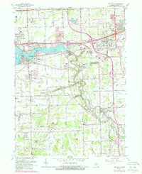
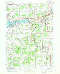
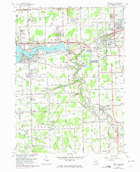
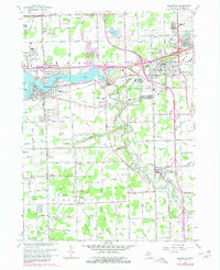
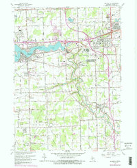
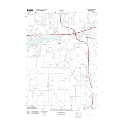
1967 Map of Belleville
USGS Topo · Published 1989About this map
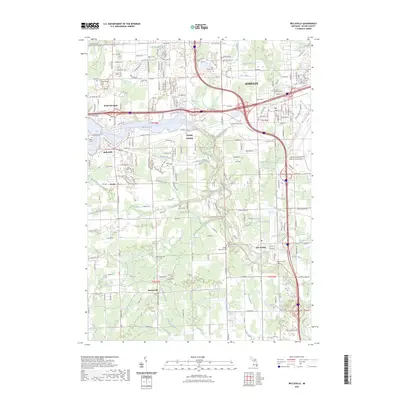
The Huron River meanders through this portion of Wayne County, widening into the prominent Belleville Lake just as it passes the community of Belleville. This era shows a landscape in transition, where the expanding Detroit Industrial Freeway and Interstate 94 cut through established townships. Smaller settlements like New Boston and Martinsville maintain their distinct identities amidst a dense network of agricultural drainage systems, including Strong and Robinson Drain, which speak to the area's managed water table. Local heritage is deeply rooted here, evidenced by numerous small country churches such as Hope Chapel and St Stephen Ch, and several family and community burial grounds including Hillside and Nowland Cem. The presence of the County Fairground and scattered schools like Elwell Sch highlight the community-centric development of the mid-20th century, even as heavy rail lines like the Norfolk and Western Railway continue to support regional industry.
Find a feature on this map
82 named features on this map. Tap any name to fly to it.
Don’t see what you’re looking for? This feature index may not catch every label — zoom into the map to look around manually.
Map Details
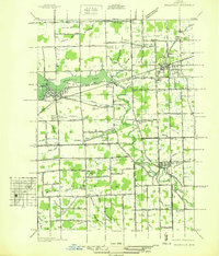
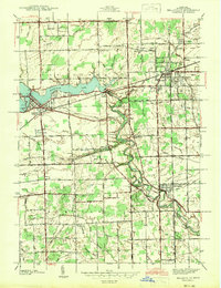
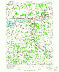
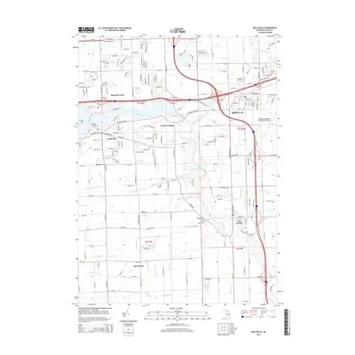
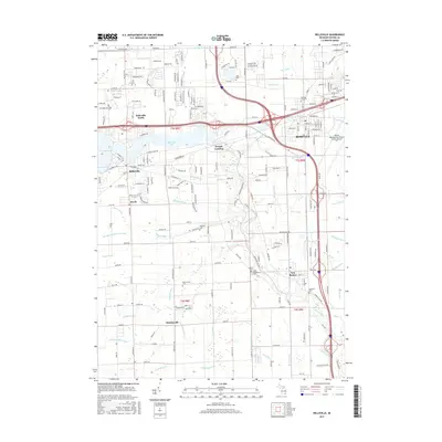
Editions of this 1967 Belleville Map
5 editions found
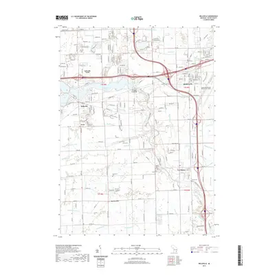
Historical Maps of Van Buren Charter Township Through Time
9 maps found
Featured Locations
- Belleville, MI
- Huron Charter Township, MI
- Van Buren Charter Township, MI
- Romulus, MI
- Sumpter Township, MI