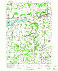
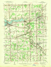
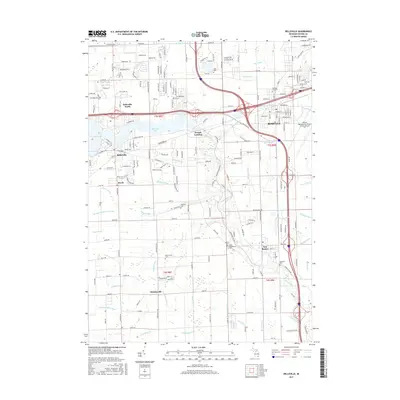
1952 Map of Belleville
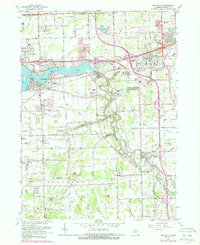
USGS Topo · Published 1965About this map
Belleville Lake and the winding Huron River anchor this mid-century portrait of western Wayne County. The landscape reflects a transition from rural agriculture to industrial-era connectivity, defined by the Wabash RR and the Detroit Industrial Expressway cutting across Van Buren and Romulus townships. Genealogists will find significant value in the documentation of several family and community resting places, including Hillside Cem near Belleville and the Martinsville Cem in the southern settlement of Martinsville. Local landmarks like French Landing and the Mt Pleasant Sch appear alongside an extensive network of named agricultural drainage systems such as McClaughrey Drain and Strong Drain. The map also captures the early footprint of Romulus and New Boston before the massive expansion of the nearby metropolitan airport changed the character of these crossroads forever.
Find a feature on this map
67 named features on this map. Tap any name to fly to it.
Don’t see what you’re looking for? This feature index may not catch every label — zoom into the map to look around manually.
Map Details
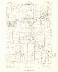
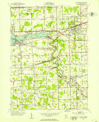
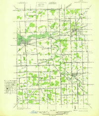
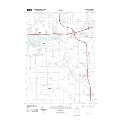
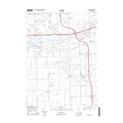
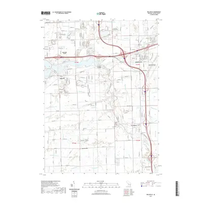
Editions of this 1952 Belleville Map
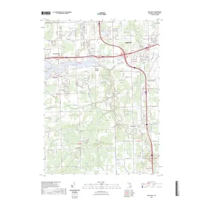
Historical Maps of Van Buren Charter Township Through Time
9 maps found
Featured Locations
- Belleville, MI
- Huron Charter Township, MI
- Van Buren Charter Township, MI
- Romulus, MI
- Sumpter Township, MI