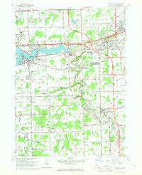
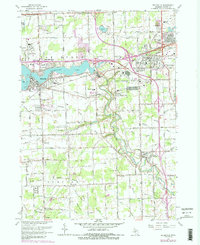
1967 Map of Belleville
USGS Topo · Published 1969About this map
Belleville Lake and the meandering Huron River dominate the landscape of western Wayne County in this late 1960s revision. The area shows a distinct transition from the concentrated residential growth in Belleville and Romulus to the rural farmsteads and agricultural drains of Van Buren and Martinsville. The infrastructure of the era is clearly visible, with the Willow Run Freeway and Detroit Industrial Freeway slicing through the northern half, while the Norfolk and Western Railway serves industrial points like French Landing. Local genealogy is well-preserved through numerous rural landmarks, including the Martinsville Cem, Tyler Cem, and Hope Chapel. The southern reach of the map features the developing Lower Huron Metropolitan Park, tracing the river's bend toward New Boston.
Find a feature on this map
86 named features on this map. Tap any name to fly to it.
Don’t see what you’re looking for? This feature index may not catch every label — zoom into the map to look around manually.
Map Details
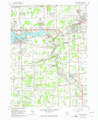
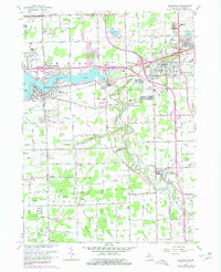
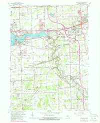
Editions of this 1967 Belleville Map
5 editions found
Other maps of this area

1902 · South Lyon
USGS Topo · 1:62,500

1902 · Ypsilanti
USGS Topo · 1:62,500

1904 · Ann Arbor
USGS Topo · 1:125,000

1905 · Wayne
USGS Topo · 1:62,500

1906 · Ypsilanti
USGS Topo · 1:62,500

1906 · South Lyon
USGS Topo · 1:62,500

1906 · Romulus
USGS Topo · 1:62,500

1908 · Ann Arbor
USGS Topo · 1:125,000

1912 · Wayne
USGS Topo · 1:62,500

1928 · Romulus
USGS Topo · 1:62,500
Featured Places
- Van Buren Charter Township, MI
- Romulus, MI
- Huron Charter Township, MI
- Sumpter Township, MI
- Belleville, MI