Loading...
Loading map...1936 Map of Belleville
USGS Topo · Published 1936About this map
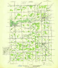
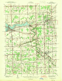
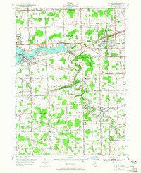
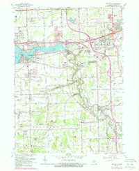
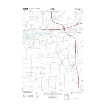
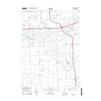
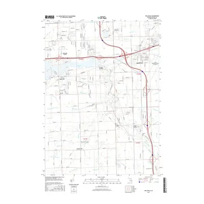
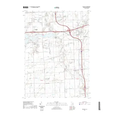
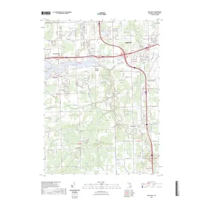
Belleville Lake and the winding Huron River anchor this 1930s landscape, illustrating the complex drainage network of western Wayne County. The map reveals a transition from traditional agrarian townships like Sumter and Van Buren toward early suburban and industrial development. Linear drainage systems such as Strong Drain and McClaughrey Drain crisscross the terrain, reflecting the intensive efforts to manage the water table for local agriculture.
Find a feature on this map
107 named features on this map. Tap any name to fly to it.
Don’t see what you’re looking for? This feature index may not catch every label — zoom into the map to look around manually.
Map Details
Date Portrayed1936
Date Published1936
PublisherU.S. Geological Survey
Map TypeTopographic
Scale1:31,680
Physical Dimensions18 x 21 inches
Editions of this 1936 Belleville Map
This is the sole edition of this map. No revisions or reprints were ever made.
Historical Maps of Van Buren Charter Township Through Time
9 maps found
Featured Locations
- Belleville, MI
- Huron Charter Township, MI
- Van Buren Charter Township, MI
- Romulus, MI
- Sumpter Township, MI
Source Details
SourceU.S. Geological Survey
CopyrightPublic Domain