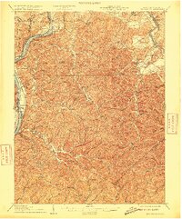
1906 Map of Belleville
USGS Topo · Published 1915About this map
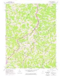
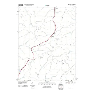
The Ohio River winds through this 1903 survey, defining the border between Ohio and West Virginia. On the western bank, the Baltimore and Ohio railroad follows the river's curve through riverfront settlements like Hockingport and Reedsville. This reach of the river is punctuated by distinctive landforms such as Mustapha Island and Newberry Island, which served as vital landmarks for river navigation before modern channelization.
Find a feature on this map
97 named features on this map. Tap any name to fly to it.
Don’t see what you’re looking for? This feature index may not catch every label — zoom into the map to look around manually.
Map Details
Editions of this 1906 Belleville Map
2 editions found

Historical Maps of Parkersburg Through Time
28 maps found
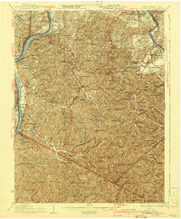
1906 Belleville
Wood County, WV

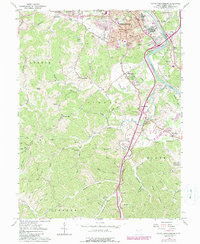
1924 Belleville
Wood County, WV
1926 Belleville
Wood County, WV
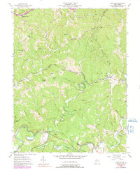
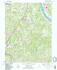
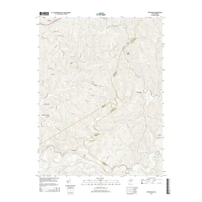
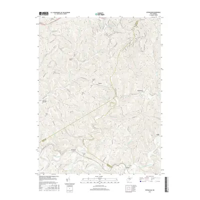
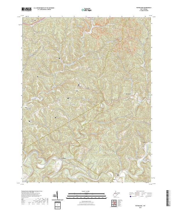
1957 Petroleum
Wood County, WV
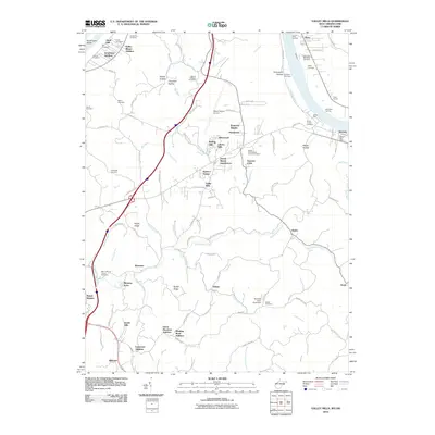
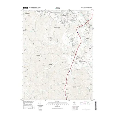
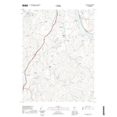
1957 Valley Mills
Wood County, WV
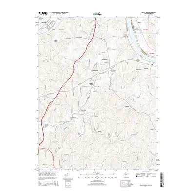
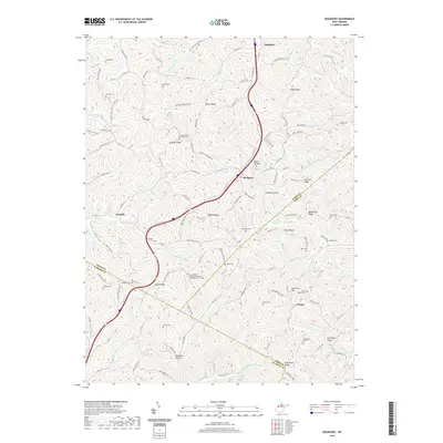
1960 Rockport
Wood County, WV
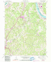
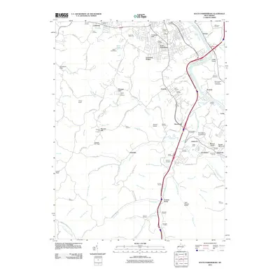
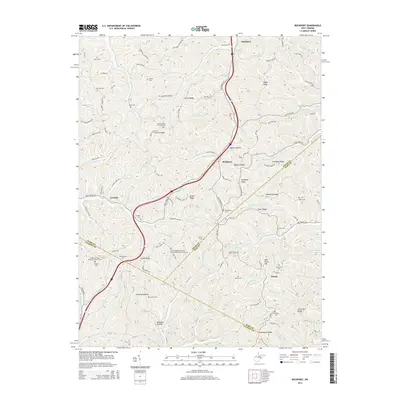
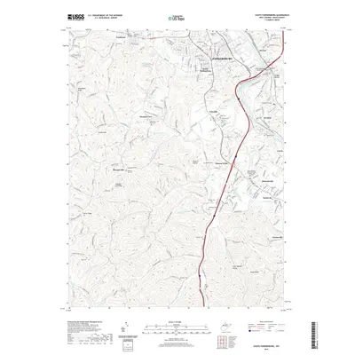
1961 South Parkersburg
Wood County, WV
1994 Valley Mills
Wood County, WV
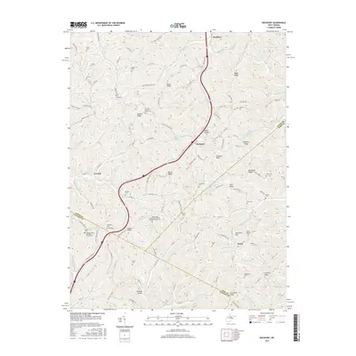
2010 Petroleum
Wood County, WV
2010 Rockport
Wood County, WV
2010 South Parkersburg
Wood County, WV
2010 Valley Mills
Wood County, WV
2014 Petroleum
Wood County, WV
2014 Rockport
Wood County, WV
2014 South Parkersburg
Wood County, WV
2014 Valley Mills
Wood County, WV
2016 Petroleum
Wood County, WV
2016 Rockport
Wood County, WV
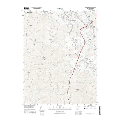
2016 South Parkersburg
Wood County, WV
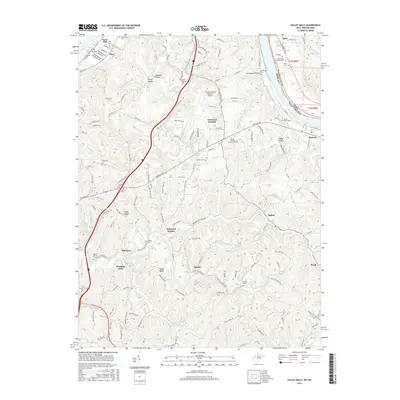
2016 Valley Mills
Wood County, WV
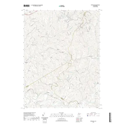
2019 Petroleum
Wood County, WV
2019 Rockport
Wood County, WV
2019 South Parkersburg
Wood County, WV
2019 Valley Mills
Wood County, WV
2023 Petroleum
Wood County, WV
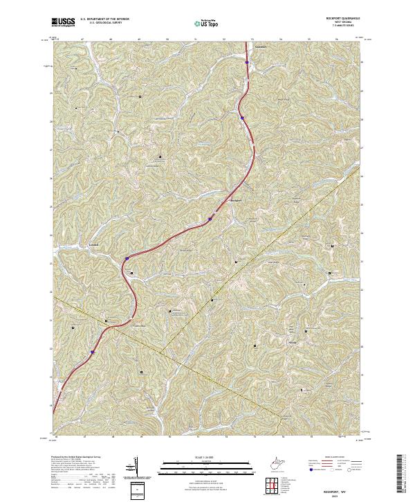
2023 Rockport
Wood County, WV
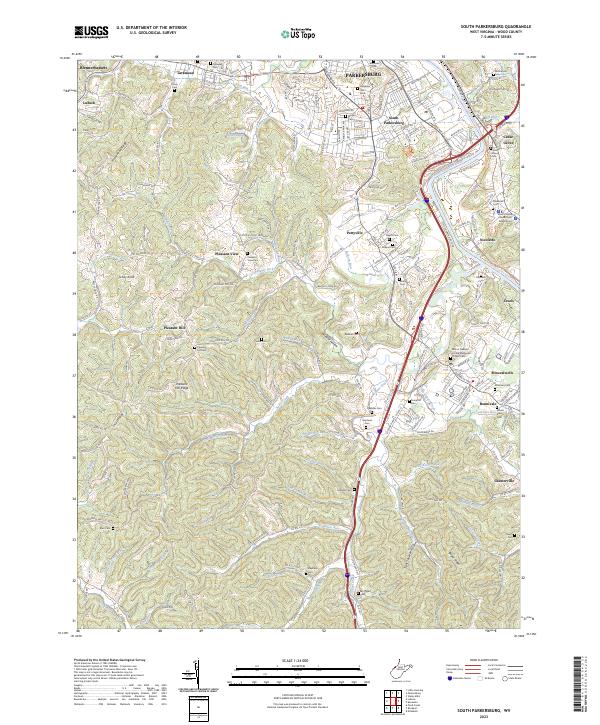
2023 South Parkersburg
Wood County, WV
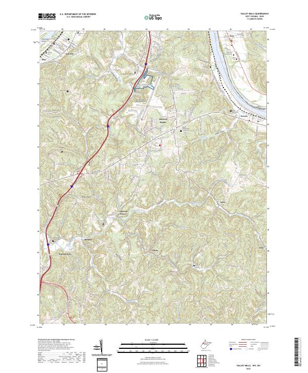
2023 Valley Mills
Wood County, WV