
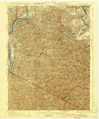
1926 Map of Belleville
USGS Topo · Published 1926About this map
The Ohio River forms the vital artery of this 1926 study, weaving between West Virginia and Ohio near Mustapha Island and Meldahl. The landscape is defined by the heavy dissection of the Allegheny Plateau, where a dense network of country schools served remote hollows and ridge-top communities. Notable educational landmarks include Leafy Glen School, Bird Ridge School, and Seven Pines School, illustrating the localized social structure of Wood County before mid-century consolidation.
Find a feature on this map
162 named features on this map. Tap any name to fly to it.
Don’t see what you’re looking for? This feature index may not catch every label — zoom into the map to look around manually.
Map Details
Editions of this 1926 Belleville Map
2 editions found
Other maps of this area

1902 · Parkersburg
USGS Topo · 1:62,500

1904 · Parkersburg
USGS Topo · 1:62,500

1904 · Marietta
USGS Topo · 1:62,500

1904 · Chesterhill
USGS Topo · 1:62,500

1906 · Elizabeth
USGS Topo · 1:62,500

1906 · Belleville
USGS Topo · 1:62,500

1906 · Chesterhill
USGS Topo · 1:62,500

1907 · Spencer
USGS Topo · 1:62,500

1907 · Keno
USGS Topo · 1:62,500

1907 · Ripley
USGS Topo · 1:62,500