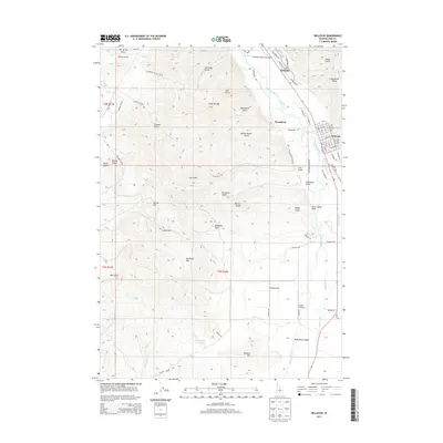
2013 Map of Bellevue
USGS Topo · Published 2013About this map
Hailey and Bellevue anchor this portion of the Wood River Valley in the early 21st century, illustrating the region's sophisticated irrigation and transportation network. The landscape is defined by the Big Wood River, which is paralleled by several vital waterways including the Bellevue Canal, Cove Canal, and Bypass Canal. These systems support the agricultural lands near Poverty Flat, while aviation infrastructure is prominent with both the Friedman Memorial Airport serving the community and the smaller Sluder Airstrip to the south.
Find a feature on this map
89 named features on this map. Tap any name to fly to it.
Don’t see what you’re looking for? This feature index may not catch every label — zoom into the map to look around manually.
Map Details
Editions of this 2013 Bellevue Map
This is the sole edition of this map. No revisions or reprints were ever made.
Other maps of this area

1895 · Hailey
USGS Topo · 1:125,000

1897 · Hailey
USGS Topo · 1:125,000

1955 · Hailey
USGS Topo · 1:250,000

1957 · Bellevue
USGS Topo · 1:62,500

1957 · Bellevue
USGS Topo · 1:24,000

1959 · Hailey
USGS Topo · 1:250,000

1962 · Hailey
USGS Topo · 1:250,000

1967 · Baugh Creek SW
USGS Topo · 1:24,000

1967 · Mahoney Butte
USGS Topo · 1:24,000

1967 · Hailey
USGS Topo · 1:24,000