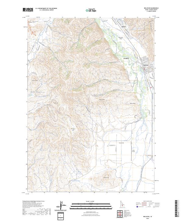
2024 Map of Bellevue
USGS Topo · Published 2024About this map
The Big Wood River Valley serves as the central artery for this contemporary Idaho landscape, where the communities of Hailey, Broadford, and Bellevue are concentrated along the river corridor. The geography transitions sharply from the level valley floor to the foothills of the Smoky Mountains in the west and the Pioneer Mountains to the northeast. A complex irrigation system, including the Cove Canal, Bypass Canal, and District Canal, supports the agricultural activity visible at Poverty Flat and Sky Ranch Flat.
Find a feature on this map
90 named features on this map. Tap any name to fly to it.
Don’t see what you’re looking for? This feature index may not catch every label — zoom into the map to look around manually.
Map Details
Editions of this 2024 Bellevue Map
This is the sole edition of this map. No revisions or reprints were ever made.
Other maps of this area

1895 · Hailey
USGS Topo · 1:125,000

1897 · Hailey
USGS Topo · 1:125,000

1955 · Hailey
USGS Topo · 1:250,000

1957 · Bellevue
USGS Topo · 1:62,500

1957 · Bellevue
USGS Topo · 1:24,000

1959 · Hailey
USGS Topo · 1:250,000

1962 · Hailey
USGS Topo · 1:250,000

1967 · Baugh Creek SW
USGS Topo · 1:24,000

1967 · Mahoney Butte
USGS Topo · 1:24,000

1967 · Hailey
USGS Topo · 1:24,000