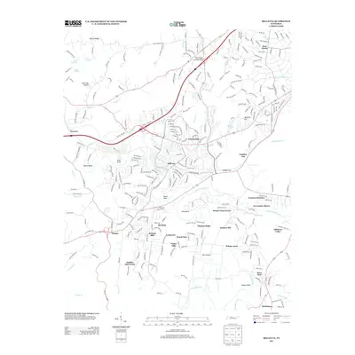
2013 Map of Bellevue
USGS Topo · Published 2013About this map
Bellevue serves as a primary suburban anchor southwest of Nashville, where the winding course of the Harpeth River creates distinctive geographic features like Hows Bend and Hutton Bend. This 2013 survey illustrates the dense residential expansion of the early 21st century, with established neighborhoods like Bethany Hills, West Meade, and Poplar Hills filling the spaces between historical corridors. The map clearly shows the intersection of modern infrastructure and heritage routes, including the Natchez Trace Pkwy and the Old Charlotte Pike.
Find a feature on this map
266 named features on this map. Tap any name to fly to it.
Don’t see what you’re looking for? This feature index may not catch every label — zoom into the map to look around manually.
Map Details
Editions of this 2013 Bellevue Map
This is the sole edition of this map. No revisions or reprints were ever made.
Other maps of this area

1901 · Colombia
USGS Topo · 1:125,000

1903 · Nashville
USGS Topo · 1:125,000

1909 · Franklin
USGS Topo · 1:62,500

1930 · White Bluff
USGS Topo · 1:62,500

1932 · Nashville
USGS Topo · 1:62,500

1933 · White Bluff
USGS Topo · 1:62,500

1946 · Leipers Fork
USGS Topo · 1:24,000

1949 · Leipers Fork
USGS Topo · 1:24,000

1949 · Franklin
USGS Topo · 1:24,000

1951 · Fairview
USGS Topo · 1:24,000