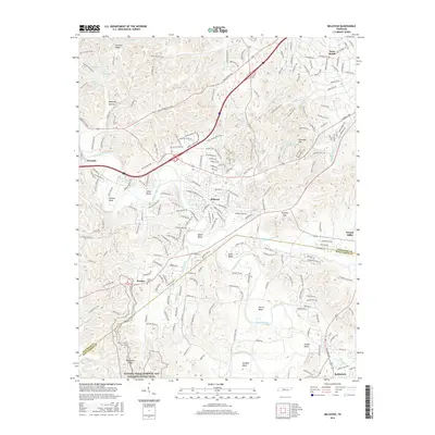
2016 Map of Bellevue
USGS Topo · Published 2016About this map
The Harpeth River carves a winding path through the landscape southwest of Nashville, defining a series of prominent river bends including Hutton Bend, Beech Bend, and Sawyer Bend. This 2016 survey captures a region where historic transportation routes like the Old Charlotte Pike and Old Harding Rd intersect with modern development in Bellevue and West Meade. The southern portion of the map is dominated by the Natchez Trace Parkway and National Scenic Trail, which skirts past Backbone Ridge near the settlement of Pasquo. For local historians and genealogists, the map preserves the location of the Pasquo Cem and smaller communities such as Bethlehem and Newsom. The transition from the elevated terrain of Ninemile Hill and Sullivan Ridge down to the river valleys of Buffalo Cr and Trace Creek illustrates the complex topography that has shaped the suburban expansion of Davidson County into Williamson County.
Find a feature on this map
39 named features on this map. Tap any name to fly to it.
Don’t see what you’re looking for? This feature index may not catch every label — zoom into the map to look around manually.
Map Details
Editions of this 2016 Bellevue Map
This is the sole edition of this map. No revisions or reprints were ever made.
Other maps of this area

1901 · Colombia
USGS Topo · 1:125,000

1903 · Nashville
USGS Topo · 1:125,000

1909 · Franklin
USGS Topo · 1:62,500

1930 · White Bluff
USGS Topo · 1:62,500

1932 · Nashville
USGS Topo · 1:62,500

1933 · White Bluff
USGS Topo · 1:62,500

1946 · Leipers Fork
USGS Topo · 1:24,000

1949 · Leipers Fork
USGS Topo · 1:24,000

1949 · Franklin
USGS Topo · 1:24,000

1951 · Fairview
USGS Topo · 1:24,000