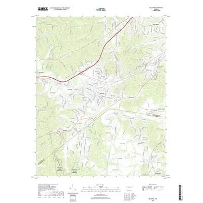
2019 Map of Bellevue
USGS Topo · Published 2019About this map
The Harpeth River carves a deep, winding course through this portion of middle Tennessee, creating distinct geographic peninsulas such as Hutton Bend, Pierce Bend, and Sawyer Bend. This 2019 survey documents the modern suburban footprint of Bellevue and West Meade as they interface with the preserved landscape of the Natchez Trace Parkway. The southern portion of the quadrangle shows the boundary between Davidson and Williamson Counties near the settlement of Pasquo, where the Pasquo Cem remains a significant genealogical landmark.
Find a feature on this map
48 named features on this map. Tap any name to fly to it.
Don’t see what you’re looking for? This feature index may not catch every label — zoom into the map to look around manually.
Map Details
Editions of this 2019 Bellevue Map
This is the sole edition of this map. No revisions or reprints were ever made.
Other maps of this area

1901 · Colombia
USGS Topo · 1:125,000

1903 · Nashville
USGS Topo · 1:125,000

1909 · Franklin
USGS Topo · 1:62,500

1930 · White Bluff
USGS Topo · 1:62,500

1932 · Nashville
USGS Topo · 1:62,500

1933 · White Bluff
USGS Topo · 1:62,500

1946 · Leipers Fork
USGS Topo · 1:24,000

1949 · Leipers Fork
USGS Topo · 1:24,000

1949 · Franklin
USGS Topo · 1:24,000

1951 · Fairview
USGS Topo · 1:24,000