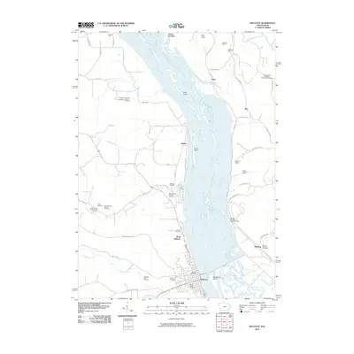
2010 Map of Bellevue
USGS Topo · Published 2010About this map
The Mississippi River corridor dominates this landscape, where the state lines of Iowa and Illinois meet amidst a complex network of backwaters and islands like Hale Island, Scott Island, and Seawards Island. On the Iowa side, the river town of Bellevue is a focal point, supported by North Bellevue and the Bellevue Post Office. The surrounding bluffs and valleys are dotted with family-named cemeteries and rural parishes, including the Daugherty Farm Cemetery, Weinert Cemetery, and Saint Nicholas Catholic Church.
Find a feature on this map
63 named features on this map. Tap any name to fly to it.
Don’t see what you’re looking for? This feature index may not catch every label — zoom into the map to look around manually.
Map Details
Editions of this 2010 Bellevue Map
This is the sole edition of this map. No revisions or reprints were ever made.
Other maps of this area

1891 · Maquoketa
USGS Topo · 1:62,500

1901 · Peosta
USGS Topo · 1:125,000

1911 · Galena
USGS Topo · 1:62,500

1913 · Galena
USGS Topo · 1:62,500

1935 · East Dubuque
USGS Topo · 1:62,500

1935 · Miles
USGS Topo · 1:62,500

1940 · East Dubuque
USGS Topo · 1:62,500

1941 · Miles
USGS Topo · 1:62,500

1953 · Green Island
USGS Topo · 1:24,000

1955 · Menominee
USGS Topo · 1:24,000