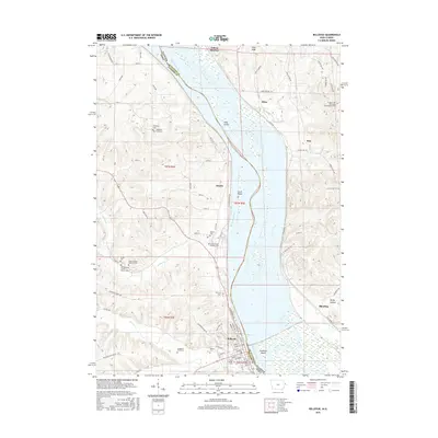
2015 Map of Bellevue
USGS Topo · Published 2015About this map
Bellevue sits prominently on the western bank of the Mississippi River at Pool 12, serving as a focal point for this survey along the Iowa and Illinois border. The landscape is defined by the broad river valley and its numerous islands, including Hale Island, Scott Island, and Seawards Island. Inland, the terrain is carved by tributaries like Spruce Cr and Mill Cr, which create the hollows and ridges typical of the Driftless Area.
Find a feature on this map
90 named features on this map. Tap any name to fly to it.
Don’t see what you’re looking for? This feature index may not catch every label — zoom into the map to look around manually.
Map Details
Editions of this 2015 Bellevue Map
This is the sole edition of this map. No revisions or reprints were ever made.
Other maps of this area

1891 · Maquoketa
USGS Topo · 1:62,500

1901 · Peosta
USGS Topo · 1:125,000

1911 · Galena
USGS Topo · 1:62,500

1913 · Galena
USGS Topo · 1:62,500

1935 · East Dubuque
USGS Topo · 1:62,500

1935 · Miles
USGS Topo · 1:62,500

1940 · East Dubuque
USGS Topo · 1:62,500

1941 · Miles
USGS Topo · 1:62,500

1953 · Green Island
USGS Topo · 1:24,000

1955 · Menominee
USGS Topo · 1:24,000