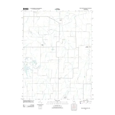
2012 Map of Bellflower South
USGS Topo · Published 2012About this map
Prices Branch and the Pin Oak Community anchor this rural landscape in Montgomery County, where the topography is defined by the winding paths of Bear Creek and its tributary, Little Bear Creek. The area maintains a strong connection to its local heritage through established burial grounds such as the Baptist Cemetery of Bellflower, Pin Oak Cemetery, and Saint Paul Cemetery. Small-scale aviation and water management also shape the modern character of the land, evidenced by the Landing Strip near Bellville Rd and the Number 220 Reservoir. Several recreation-focused water bodies, including Heron Lake, Golden Eagle Lake, and Bass Lake, are tucked into the drainages of Poor Branch and Camp Creek, reflecting a transition from strictly agricultural utility to seasonal or residential leisure. This 2012 survey documents the persistent rural road network and the dispersal of small settlements across the northern Missouri plains.
Find a feature on this map
63 named features on this map. Tap any name to fly to it.
Don’t see what you’re looking for? This feature index may not catch every label — zoom into the map to look around manually.
Map Details
Editions of this 2012 Bellflower South Map
This is the sole edition of this map. No revisions or reprints were ever made.
Other maps of this area

1890 · Louisiana
USGS Topo · 1:125,000

1890 · Hermann
USGS Topo · 1:125,000

1937 · Silex
USGS Topo · 1:62,500

1939 · Silex
USGS Topo · 1:48,000

1942 · New Florence
USGS Topo · 1:62,500

1942 · Bellflower
USGS Topo · 1:62,500

1943 · Warrenton
USGS Topo · 1:62,500

1945 · Bellflower
USGS Topo · 1:62,500

1945 · Warrenton
USGS Topo · 1:62,500

1946 · New Florence
USGS Topo · 1:62,500