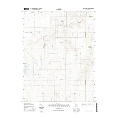
2015 Map of Bellflower South
USGS Topo · Published 2015About this map
Bellflower anchors the northern reaches of this rural landscape where the boundaries of Montgomery, Warren, and Lincoln counties converge. The terrain is defined by a dense network of seasonal and perennial drainages, including the winding Bear Cr and Little Bear Cr, which feed several agricultural and recreational water bodies such as the Godbold Irrigation Reservoir and Heron Lake. Small agricultural settlements like Prices Branch and the Pin Oak Community serve as local hubs, each maintaining its own namesake burial grounds including the Prices Branch Cemetery and Pin Oak Cemetery. This 2015 survey illustrates a contemporary pattern of land use where large-scale farming is punctuated by specialized sites like the Sanctuary Airport and private developments around Golden Eagle Lake.
Find a feature on this map
87 named features on this map. Tap any name to fly to it.
Don’t see what you’re looking for? This feature index may not catch every label — zoom into the map to look around manually.
Map Details
Editions of this 2015 Bellflower South Map
This is the sole edition of this map. No revisions or reprints were ever made.
Other maps of this area

1890 · Louisiana
USGS Topo · 1:125,000

1890 · Hermann
USGS Topo · 1:125,000

1937 · Silex
USGS Topo · 1:62,500

1939 · Silex
USGS Topo · 1:48,000

1942 · New Florence
USGS Topo · 1:62,500

1942 · Bellflower
USGS Topo · 1:62,500

1943 · Warrenton
USGS Topo · 1:62,500

1945 · Bellflower
USGS Topo · 1:62,500

1945 · Warrenton
USGS Topo · 1:62,500

1946 · New Florence
USGS Topo · 1:62,500