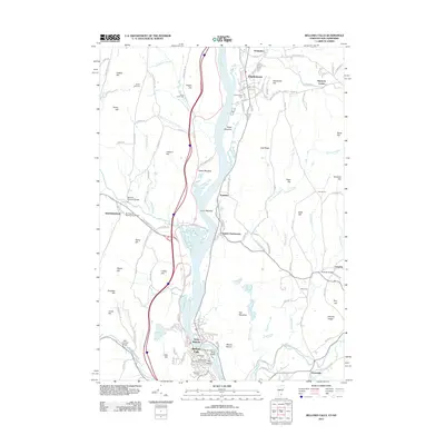
2012 Map of Bellows Falls
USGS Topo · Published 2012About this map
The Connecticut River serves as the central artery for this Vermont and New Hampshire borderland, where the industrial history of Bellows Falls meets the rural agricultural valleys of Rockingham and Charlestown. A notable concentration of historic structures and sites is clustered near the river’s falls, including the Boston and Main Railroad Tunnel and the distinctive landmark known as The Stairs. To the west, the winding Williams River is crossed by the Worrall Covered Bridge, while family-named burial grounds like the Parker Hill Cem and Oliver Lovell Cem anchor the upland farms and hills.
Find a feature on this map
149 named features on this map. Tap any name to fly to it.
Don’t see what you’re looking for? This feature index may not catch every label — zoom into the map to look around manually.
Map Details
Editions of this 2012 Bellows Falls Map
This is the sole edition of this map. No revisions or reprints were ever made.
Other maps of this area

1926 · Claremont
USGS Topo · 1:62,500

1927 · Bellows Falls
USGS Topo · 1:48,000

1928 · Ludlow
USGS Topo · 1:48,000

1929 · Claremont
USGS Topo · 1:62,500

1929 · Ludlow
USGS Topo · 1:62,500

1930 · Saxtons River
USGS Topo · 1:48,000

1930 · Bellows Falls
USGS Topo · 1:62,500

1932 · Ludlow
USGS Topo · 1:62,500

1933 · Saxtons River
USGS Topo · 1:62,500

1950 · Glens Falls
USGS Topo · 1:250,000