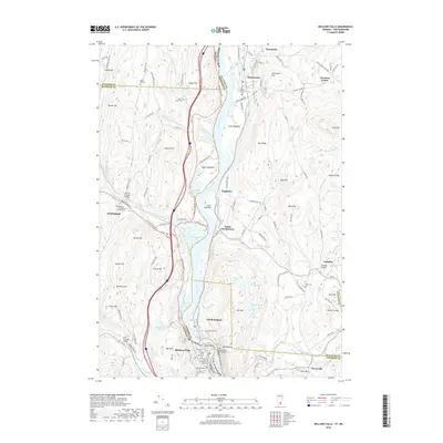
2018 Map of Bellows Falls
USGS Topo · Published 2018About this map
Bellows Falls serves as a focal point along the Connecticut River, where the industrial and transport history of the region is etched into the landscape. The Boston and Maine Railroad Tunnel and the First Connecticut River Bridge highlight the significance of this river crossing, while the town's layout reflects its role as a regional hub between Vermont and New Hampshire. To the west, the Rockingham area preserves local heritage with the Rockingham Meeting House Cem and the Worrall Covered Bridge, signaling the long-standing community centers of Windham County.
Find a feature on this map
140 named features on this map. Tap any name to fly to it.
Don’t see what you’re looking for? This feature index may not catch every label — zoom into the map to look around manually.
Map Details
Editions of this 2018 Bellows Falls Map
This is the sole edition of this map. No revisions or reprints were ever made.
Other maps of this area

1926 · Claremont
USGS Topo · 1:62,500

1927 · Bellows Falls
USGS Topo · 1:48,000

1928 · Ludlow
USGS Topo · 1:48,000

1929 · Claremont
USGS Topo · 1:62,500

1929 · Ludlow
USGS Topo · 1:62,500

1930 · Saxtons River
USGS Topo · 1:48,000

1930 · Bellows Falls
USGS Topo · 1:62,500

1932 · Ludlow
USGS Topo · 1:62,500

1933 · Saxtons River
USGS Topo · 1:62,500

1950 · Glens Falls
USGS Topo · 1:250,000