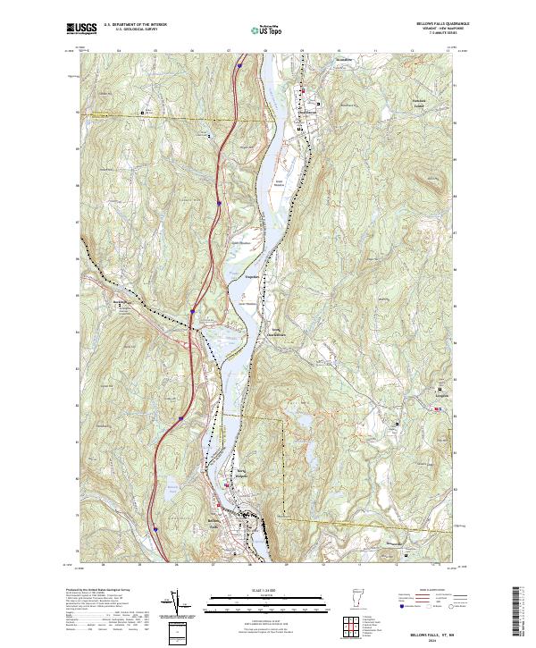
2024 Map of Bellows Falls
USGS Topo · Published 2024About this map
The Connecticut River serves as the primary artery for this region, carving a path between the steep hillsides of Vermont and New Hampshire. This river valley landscape is defined by the concentrated development at Bellows Falls and North Walpole, where the topography forced industry and transit into the narrow corridor around the Great Fall. The map illustrates a complex network of multi-state infrastructure, including the Bellows Falls Tri rail junction and various river crossings that historically supported the manufacturing and timber trades of the upper Connecticut Valley.
Find a feature on this map
164 named features on this map. Tap any name to fly to it.
Don’t see what you’re looking for? This feature index may not catch every label — zoom into the map to look around manually.
Map Details
Editions of this 2024 Bellows Falls Map
This is the sole edition of this map. No revisions or reprints were ever made.
Other maps of this area

1926 · Claremont
USGS Topo · 1:62,500

1927 · Bellows Falls
USGS Topo · 1:48,000

1928 · Ludlow
USGS Topo · 1:48,000

1929 · Claremont
USGS Topo · 1:62,500

1929 · Ludlow
USGS Topo · 1:62,500

1930 · Saxtons River
USGS Topo · 1:48,000

1930 · Bellows Falls
USGS Topo · 1:62,500

1932 · Ludlow
USGS Topo · 1:62,500

1933 · Saxtons River
USGS Topo · 1:62,500

1950 · Glens Falls
USGS Topo · 1:250,000