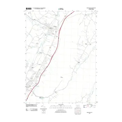
2010 Map of Bellwood
USGS Topo · Published 2010About this map
The Little Juniata River flows through a landscape defined by industrial legacy and growing residential settlements in this 2010 survey of Blair County. The community of Bellwood is central to the area, flanked by smaller hamlets such as Roots, Pinecroft, and Reightown. Evidence of the region’s mineral history remains at the Sinking Valley Lead Zinc Mines in the eastern hills, while the Celestine Locality provides a specific point of interest for geological researchers. Water management is a significant feature of the terrain, with several impoundments including the Pottsgrove Reservoir, Kettle Reservoir, and the Brush Mountain Dam regulating the local creeks. Genealogists will find several burial grounds documented, including the Logan Valley Cemetery, Antis Cemetery, and Rose Hill Cemetery, providing a spatial record of the area’s established families and long-standing communities.
Find a feature on this map
67 named features on this map. Tap any name to fly to it.
Don’t see what you’re looking for? This feature index may not catch every label — zoom into the map to look around manually.
Map Details
Editions of this 2010 Bellwood Map
This is the sole edition of this map. No revisions or reprints were ever made.
Other maps of this area

1901 · Huntingdon
USGS Topo · 1:62,500

1902 · Hollidaysburg
USGS Topo · 1:62,500

1903 · Hollidaysburg
USGS Topo · 1:62,500

1904 · Huntingdon
USGS Topo · 1:62,500

1920 · Altoona
USGS Topo · 1:62,500

1922 · Altoona
USGS Topo · 1:62,500

1923 · Tyrone
USGS Topo · 1:62,500

1929 · Tyrone
USGS Topo · 1:48,000

1933 · Tyrone
USGS Topo · 1:62,500

1946 · Tyrone
USGS Topo · 1:62,500