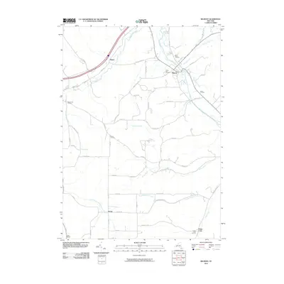
2010 Map of Belmont
USGS Topo · Published 2010About this map
The Genesee River cuts through the northern half of this landscape, serving as the focal point for the settlement of Belmont. This area of Allegany County shows a pattern of river-valley development and upland farming typical of the region. The map documents several outlying communities and points of interest, including Higgins and Inavale, which are connected by a network of rural roads following the various creek drainages. Genealogists will find a high concentration of burial sites across the terrain, from Saint Marys Cemetery and Forest Hills Cemetery near the village center to more remote locations like Mount Hope Cemetery, Norton Cemetery, and Sirtore Cemetery. The hydrology is particularly well-defined, with numerous named tributaries such as Van Campen Creek, Snowball Hollow Creek, and Long Gore Creek carving through the local topography.
Find a feature on this map
58 named features on this map. Tap any name to fly to it.
Don’t see what you’re looking for? This feature index may not catch every label — zoom into the map to look around manually.
Map Details
Editions of this 2010 Belmont Map
This is the sole edition of this map. No revisions or reprints were ever made.
Other maps of this area

1906 · Angelica
USGS Topo · 1:62,500

1916 · Canaseraga
USGS Topo · 1:62,500

1925 · Belmont
USGS Topo · 1:62,500

1926 · Wellsville
USGS Topo · 1:62,500

1939 · Belmont
USGS Topo · 1:62,500

1940 · Canaseraga
USGS Topo · 1:62,500

1941 · Angelica
USGS Topo · 1:62,500

1950 · Elmira
USGS Topo · 1:250,000

1958 · Elmira
USGS Topo · 1:250,000

1960 · Buffalo
USGS Topo · 1:250,000