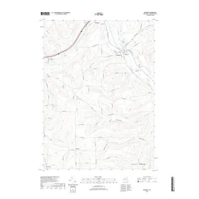
2019 Map of Belmont
USGS Topo · Published 2019About this map
The Allegany County Courthouse serves as a central anchor in the village of Belmont, where the Genesee River meets the mouths of several local tributaries. This modern survey illustrates the persistent layout of local valley settlements, including Belvidere and Inavale, which are connected by a network of rural roads traversing the area's significant vertical relief. Hilltop labels such as Transit Hill Rd and Starvation Hill Rd suggest a history of challenging cultivation on the high ground overlooking the Van Campen Creek valley.
Find a feature on this map
79 named features on this map. Tap any name to fly to it.
Don’t see what you’re looking for? This feature index may not catch every label — zoom into the map to look around manually.
Map Details
Editions of this 2019 Belmont Map
This is the sole edition of this map. No revisions or reprints were ever made.
Other maps of this area

1906 · Angelica
USGS Topo · 1:62,500

1916 · Canaseraga
USGS Topo · 1:62,500

1925 · Belmont
USGS Topo · 1:62,500

1926 · Wellsville
USGS Topo · 1:62,500

1939 · Belmont
USGS Topo · 1:62,500

1940 · Canaseraga
USGS Topo · 1:62,500

1941 · Angelica
USGS Topo · 1:62,500

1950 · Elmira
USGS Topo · 1:250,000

1958 · Elmira
USGS Topo · 1:250,000

1960 · Buffalo
USGS Topo · 1:250,000