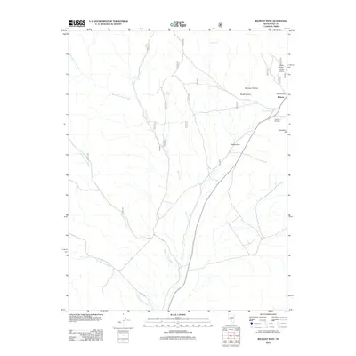
2012 Map of Belmont West
USGS Topo · Published 2012About this map
Belmont serves as the focal point of this Nevada high-desert survey, situated at the eastern edge of a landscape defined by dramatic canyons and historic remnants. The presence of the Old Courthouse and the Monitor Mill suggests a complex local history tied to civic life and the region's industrial past. The area is marked by significant topographical landmarks such as Mountain Priscilla and Devils Gate, which overlook the winding course of Silver Creek and the South Fork Silver Creek.
Find a feature on this map
21 named features on this map. Tap any name to fly to it.
Don’t see what you’re looking for? This feature index may not catch every label — zoom into the map to look around manually.
Map Details
Editions of this 2012 Belmont West Map
This is the sole edition of this map. No revisions or reprints were ever made.
Other maps of this area

1907 · Tonopah
USGS Topo · 1:250,000

1908 · Tonopah
USGS Topo · 1:250,000

1956 · Tonopah
USGS Topo · 1:250,000

1959 · Tonopah
USGS Topo · 1:250,000

1962 · Tonopah
USGS Topo · 1:250,000

1963 · Baxter Spring
USGS Topo · 1:62,500

1971 · Belmont East
USGS Topo · 1:24,000

1971 · Corcoran Canyon
USGS Topo · 1:24,000

1971 · Manhattan
USGS Topo · 1:24,000

1971 · Belmont West
USGS Topo · 1:24,000