
1971 Map of Belmont East
USGS Topo · Published 1974About this map
Belmont stands as a quiet reminder of Nye County's mining history in the early 1970s, positioned on the eastern edge of the Toiyabe National Forest. The landscape is heavily marked by former silver-mining operations, featuring the Belmont Shaft, Highbridge Shaft, and several remnant structures such as the Combination Mill (Ruins) and Highbridge Mill (Ruins). These industrial remains are clustered near Cemetery Hill, overlooking the broad expanse of Monitor Valley. An Aqueduct and various Jeep Trails suggest the logistical efforts required to sustain operations in this high-altitude environment. Further south, the terrain transitions into the distinctively named Horse Heaven and the Mc Kinney Mountains, where White Rock Canyon cuts through the ridges. The presence of Combination Spring highlights the critical importance of water sources in supporting both the mining camps and the nearby Prospect sites.
Find a feature on this map
21 named features on this map. Tap any name to fly to it.
Don’t see what you’re looking for? This feature index may not catch every label — zoom into the map to look around manually.
Map Details
Editions of this 1971 Belmont East Map
This is the sole edition of this map. No revisions or reprints were ever made.
Other maps of this area

1956 · Tonopah
USGS Topo · 1:250,000

1959 · Tonopah
USGS Topo · 1:250,000

1962 · Tonopah
USGS Topo · 1:250,000

1971 · Corcoran Canyon
USGS Topo · 1:24,000

1971 · Barley Creek
USGS Topo · 1:24,000
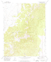
1971 · Elkhorn Canyon
USGS Topo · 1:24,000

1971 · Belmont West
USGS Topo · 1:24,000

1971 · Jefferson
USGS Topo · 1:24,000
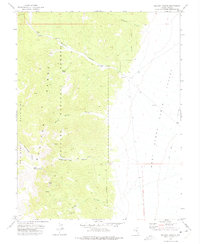
1971 · McCann Canyon
USGS Topo · 1:24,000
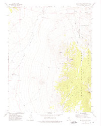
1971 · Big Ten Peak West
USGS Topo · 1:24,000