
1971 Map of Barley Creek
USGS Topo · Published 1974About this map
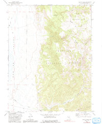
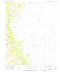
Monitor Valley provides a striking expanse of high-desert terrain on this 1971 survey of Nye County. The landscape is defined by the significant elevation changes between the valley floor and the heights of Table Mountain and the Monitor Range. Human activity is concentrated along the western edge of the mountains, most notably at the Barley Creek Ranch, which sits near the junction of several drainage systems. Within the Toiyabe National Forest, the map records a network of primitive transportation including a Pack Trail, Jeep Trail, and unnamed Trail segments. These routes navigate through steep features like Haystack Canyon and lead toward high-altitude grazing areas such as Big Meadow. Critical water sources, essential for ranching and survival in this arid environment, are meticulously noted, including South Fork Mosquito Creek and several isolated Spring and Springs locations.
Find a feature on this map
19 named features on this map. Tap any name to fly to it.
Don’t see what you’re looking for? This feature index may not catch every label — zoom into the map to look around manually.
Map Details
Editions of this 1971 Barley Creek Map
2 editions found
Other maps of this area

1956 · Tonopah
USGS Topo · 1:250,000

1959 · Tonopah
USGS Topo · 1:250,000

1962 · Tonopah
USGS Topo · 1:250,000

1971 · Belmont East
USGS Topo · 1:24,000

1971 · Corcoran Canyon
USGS Topo · 1:24,000
1971 · Elkhorn Canyon
USGS Topo · 1:24,000

1971 · Mosquito Creek
USGS Topo · 1:24,000
1971 · Green Monster Canyon
USGS Topo · 1:24,000
1971 · Danville
USGS Topo · 1:24,000
1971 · Pine Creek Ranch
USGS Topo · 1:24,000