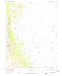
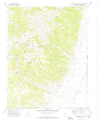
1971 Map of Pine Creek Ranch
USGS Topo · Published 1975About this map
Monitor Valley provides the backdrop for this mid-century topographic study, where the high desert floor meets the eastern slopes of the Toiyabe National Forest. The landscape is defined by the drainage systems of Pine Creek and Andrews Creek, which flow out from the steep terrain of Red Rock Canyon and Bucks Canyon toward the valley sink. The central human fixture is the Pine Creek Ranch, a lonely outpost in a region primarily used for grazing and resource extraction, as evidenced by several Borrow Pit locations scattered across the alluvial fan.
Find a feature on this map
24 named features on this map. Tap any name to fly to it.
Don’t see what you’re looking for? This feature index may not catch every label — zoom into the map to look around manually.
Map Details
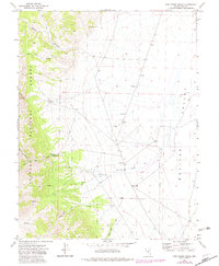
Editions of this 1971 Pine Creek Ranch Map
2 editions found
Other maps of this area

1956 · Tonopah
USGS Topo · 1:250,000

1959 · Tonopah
USGS Topo · 1:250,000

1962 · Tonopah
USGS Topo · 1:250,000

1971 · Corcoran Canyon
USGS Topo · 1:24,000

1971 · Barley Creek
USGS Topo · 1:24,000

1971 · Mosquito Creek
USGS Topo · 1:24,000
1971 · Jet Spring
USGS Topo · 1:24,000
1971 · Box Spring
USGS Topo · 1:24,000
1971 · Northumberland Pass
USGS Topo · 1:24,000

1971 · Jefferson
USGS Topo · 1:24,000