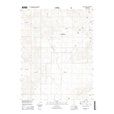
2014 Map of Belmont West
USGS Topo · Published 2014About this map
Belmont sits at the eastern edge of this high-desert landscape, serving as a primary point of interest within the vast Toiyabe National Forest. The map provides significant detail for genealogists and local historians, specifically marking Belmont Cemetery, Anderson Cemetery, and the prominent Cem Hill. The topography is defined by the sharp transition from the elevated slopes of Mtn Priscilla and Horse Heaven down into the broad expanses of the Ralston Valley and Ralston Desert.
Find a feature on this map
30 named features on this map. Tap any name to fly to it.
Don’t see what you’re looking for? This feature index may not catch every label — zoom into the map to look around manually.
Map Details
Editions of this 2014 Belmont West Map
This is the sole edition of this map. No revisions or reprints were ever made.
Other maps of this area

1907 · Tonopah
USGS Topo · 1:250,000

1908 · Tonopah
USGS Topo · 1:250,000

1956 · Tonopah
USGS Topo · 1:250,000

1959 · Tonopah
USGS Topo · 1:250,000

1962 · Tonopah
USGS Topo · 1:250,000

1963 · Baxter Spring
USGS Topo · 1:62,500

1971 · Belmont East
USGS Topo · 1:24,000

1971 · Corcoran Canyon
USGS Topo · 1:24,000

1971 · Manhattan
USGS Topo · 1:24,000

1971 · Belmont West
USGS Topo · 1:24,000