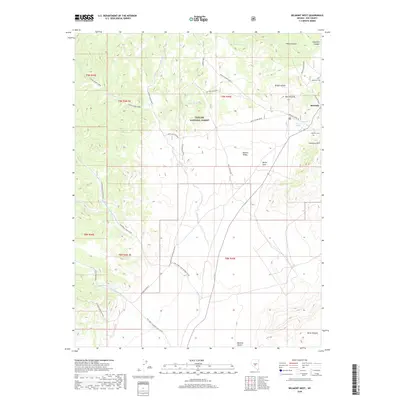
2018 Map of Belmont West
USGS Topo · Published 2018About this map
The settlement of Belmont anchors this high-desert landscape in Nye County, offering a detailed look at the infrastructure of a historic mining district. Positioned near the eastern edge of the Toiyabe National Forest, the map traces vital transport links such as the Historical Stage Route and the Belmont Shortcut, which connect the town to the surrounding terrain. Genealogists will find significant value in the documentation of the Anderson Cem and the Belmont Cem located at the base of Cemetery Hill.
Find a feature on this map
46 named features on this map. Tap any name to fly to it.
Don’t see what you’re looking for? This feature index may not catch every label — zoom into the map to look around manually.
Map Details
Editions of this 2018 Belmont West Map
This is the sole edition of this map. No revisions or reprints were ever made.
Other maps of this area

1907 · Tonopah
USGS Topo · 1:250,000

1908 · Tonopah
USGS Topo · 1:250,000

1956 · Tonopah
USGS Topo · 1:250,000

1959 · Tonopah
USGS Topo · 1:250,000

1962 · Tonopah
USGS Topo · 1:250,000

1963 · Baxter Spring
USGS Topo · 1:62,500

1971 · Belmont East
USGS Topo · 1:24,000

1971 · Corcoran Canyon
USGS Topo · 1:24,000

1971 · Manhattan
USGS Topo · 1:24,000

1971 · Belmont West
USGS Topo · 1:24,000