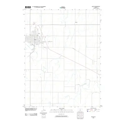
2009 Map of Beloit
USGS Topo · Published 2009About this map
Beloit anchors this survey in the Solomon Valley, appearing as a developed county seat structured around a traditional grid and major arterial roads like Asherville Rd. The Solomon River meanders broadly across the southern portion of the quadrangle, joined by tributaries including Plum Creek, Dry Creek, and Marshall Creek. This drainage network defines the agricultural landscape surrounding the town, where section roads like 310 Rd and K Rd partition the plains. Genealogists will find the locations of Elmwood Cemetery and Saint Johns Cemetery on the northern edge of the city, while the small settlement of Gilbert is positioned to the northeast. The geography reflects a mature Midwestern town where civic development meets the natural hydrology of the river basin, with local landmarks like Country Club Rd and Chatauqua Park Dr indicating the community's social and recreational layout.
Find a feature on this map
34 named features on this map. Tap any name to fly to it.
Don’t see what you’re looking for? This feature index may not catch every label — zoom into the map to look around manually.
Map Details
Editions of this 2009 Beloit Map
This is the sole edition of this map. No revisions or reprints were ever made.
Other maps of this area

1892 · Concordia
USGS Topo · 1:125,000

1892 · Minneapolis
USGS Topo · 1:125,000

1894 · Mankato
USGS Topo · 1:125,000

1894 · Beloit
USGS Topo · 1:125,000

1952 · Glasco SW
USGS Topo · 1:24,000

1953 · Solomon Rapids
USGS Topo · 1:24,000

1953 · Simpson
USGS Topo · 1:24,000

1953 · Beloit
USGS Topo · 1:24,000

1955 · Manhattan
USGS Topo · 1:250,000

1955 · Beloit
USGS Topo · 1:250,000