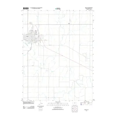
2012 Map of Beloit
USGS Topo · Published 2012About this map
Beloit serves as the regional hub in this 2012 survey, situated along a prominent bend of the Solomon River. The map illustrates the town’s established street grid and public institutions, including the N Central Kansas Technical Coll and the Mitchell County Fairgrounds. Notable for genealogists are the Elmwood Cem and Saint Johns Cem, located near the Solomon Valley Raceway on the northern edge of the settlement.
Find a feature on this map
39 named features on this map. Tap any name to fly to it.
Don’t see what you’re looking for? This feature index may not catch every label — zoom into the map to look around manually.
Map Details
Editions of this 2012 Beloit Map
This is the sole edition of this map. No revisions or reprints were ever made.
Other maps of this area

1892 · Concordia
USGS Topo · 1:125,000

1892 · Minneapolis
USGS Topo · 1:125,000

1894 · Mankato
USGS Topo · 1:125,000

1894 · Beloit
USGS Topo · 1:125,000

1952 · Glasco SW
USGS Topo · 1:24,000

1953 · Solomon Rapids
USGS Topo · 1:24,000

1953 · Simpson
USGS Topo · 1:24,000

1953 · Beloit
USGS Topo · 1:24,000

1955 · Manhattan
USGS Topo · 1:250,000

1955 · Beloit
USGS Topo · 1:250,000