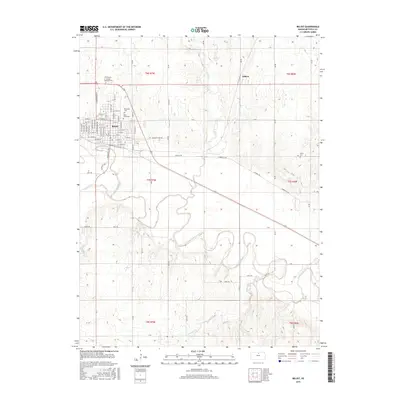
2015 Map of Beloit
USGS Topo · Published 2015About this map
Beloit serves as the primary hub of this Mitchell County landscape, situated where several creek systems converge toward the Solomon River. The town's grid is well-defined, containing residential and institutional landmarks like the N Central Kansas Technical Coll and local burial grounds including Elmwood Cem and Saint Johns Cem. To the east, the smaller settlement of Gilbert sits along the northern edge of the survey area, surrounded by a network of rural roads such as Asherville Rd and Jazmine Trl. The map illustrates the hydrological patterns of the region, featuring the meandering paths of Plum Cr, Dry Cr, and Marshall Cr as they weave through the agricultural sections of the Solomon River valley. This 2015 edition provides a contemporary record of these central Kansas communities and their connection to the fertile river bottoms.
Find a feature on this map
47 named features on this map. Tap any name to fly to it.
Don’t see what you’re looking for? This feature index may not catch every label — zoom into the map to look around manually.
Map Details
Editions of this 2015 Beloit Map
This is the sole edition of this map. No revisions or reprints were ever made.
Other maps of this area

1892 · Concordia
USGS Topo · 1:125,000

1892 · Minneapolis
USGS Topo · 1:125,000

1894 · Mankato
USGS Topo · 1:125,000

1894 · Beloit
USGS Topo · 1:125,000

1952 · Glasco SW
USGS Topo · 1:24,000

1953 · Solomon Rapids
USGS Topo · 1:24,000

1953 · Simpson
USGS Topo · 1:24,000

1953 · Beloit
USGS Topo · 1:24,000

1955 · Manhattan
USGS Topo · 1:250,000

1955 · Beloit
USGS Topo · 1:250,000