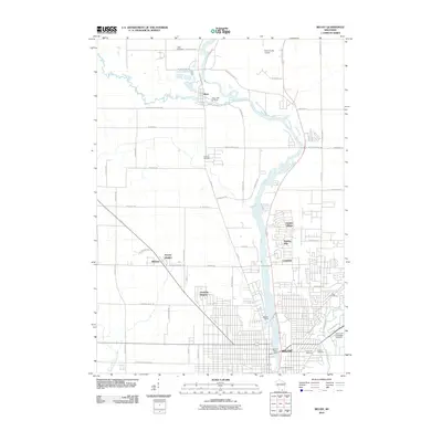
2010 Map of Beloit
USGS Topo · Published 2010About this map
The Rock River dominates this landscape, winding southward from Afton through a series of residential developments including Garden Village, Holiday Hills, and Crestview before reaching the industrial and municipal center of Beloit. This 2010 survey illustrates the organized expansion of the northern city limits, where established neighborhoods like Christilla Heights and Victory Heights meet the surrounding agricultural grid.
Find a feature on this map
66 named features on this map. Tap any name to fly to it.
Don’t see what you’re looking for? This feature index may not catch every label — zoom into the map to look around manually.
Map Details
Editions of this 2010 Beloit Map
This is the sole edition of this map. No revisions or reprints were ever made.
Other maps of this area

1891 · Janesville
USGS Topo · 1:62,500

1893 · Janesville
USGS Topo · 1:62,500

1893 · Shopiere
USGS Topo · 1:62,500

1918 · Rockford
USGS Topo · 1:62,500

1918 · Belvidere
USGS Topo · 1:62,500

1938 · Rockford
USGS Topo · 1:62,500

1944 · Belvidere
USGS Topo · 1:62,500

1954 · Rockford
USGS Topo · 1:250,000

1955 · Rockford
USGS Topo · 1:250,000

1958 · Rockford
USGS Topo · 1:250,000