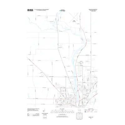
2013 Map of Beloit
USGS Topo · Published 2013About this map
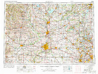
The Rock River flows south toward the Illinois border, serving as the central geographic feature of this Rock County landscape. Along its eastern banks, the suburban and industrial expansion of Beloit is evident, with a dense network of streets and neighborhoods pressing toward the water. North of the city, the Southern Wisconsin Regional Airport occupies a significant portion of the plateau, its runways and W Airport Rd marking a transition from urban development to the agricultural fields of the surrounding townships.
Find a feature on this map
139 named features on this map. Tap any name to fly to it.
Don’t see what you’re looking for? This feature index may not catch every label — zoom into the map to look around manually.
Map Details
Editions of this 2013 Beloit Map
This is the sole edition of this map. No revisions or reprints were ever made.
Other maps of this area
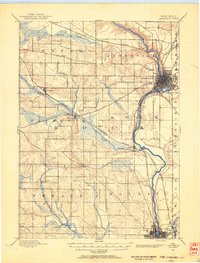
1891 · Janesville
USGS Topo · 1:62,500
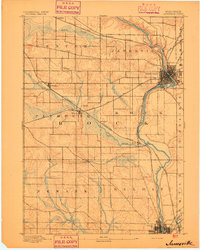
1893 · Janesville
USGS Topo · 1:62,500
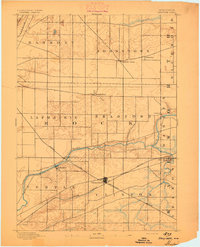
1893 · Shopiere
USGS Topo · 1:62,500
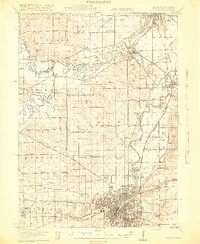
1918 · Rockford
USGS Topo · 1:62,500
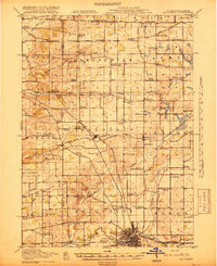
1918 · Belvidere
USGS Topo · 1:62,500
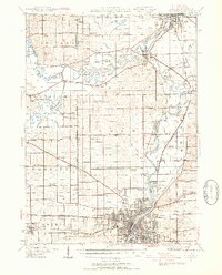
1938 · Rockford
USGS Topo · 1:62,500
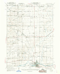
1944 · Belvidere
USGS Topo · 1:62,500

1954 · Rockford
USGS Topo · 1:250,000

1955 · Rockford
USGS Topo · 1:250,000
1958 · Rockford
USGS Topo · 1:250,000