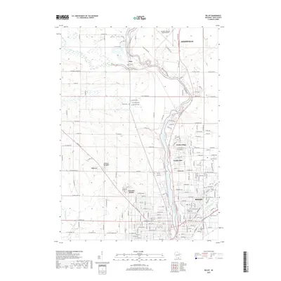
2018 Map of Beloit
USGS Topo · Published 2018About this map
Rock River dominates this portion of Rock County, winding southward through the industrial and residential corridors of Janesville and Beloit. In the late 2010s, this landscape shows a dense network of suburban developments such as Garden Village, Holiday Hills, and Christilla Heights filling the spaces between the historical city centers. Along the western banks, Bass Creek meanders toward the river near the settlement of Afton, passing several established burial grounds including Afton Cem and Baldwin Cem. The map illustrates the contemporary expansion of these Wisconsin communities, where modern residential streets like W Creek View Pkwy meet older rural routes. To the southeast, the confluence of Turtle Creek and Spring Brook near East Lawn Cem and Calvary Cem highlights the enduring geographic importance of these waterways to the region's urban layout and cemetery placement.
Find a feature on this map
91 named features on this map. Tap any name to fly to it.
Don’t see what you’re looking for? This feature index may not catch every label — zoom into the map to look around manually.
Map Details
Editions of this 2018 Beloit Map
This is the sole edition of this map. No revisions or reprints were ever made.
Other maps of this area

1891 · Janesville
USGS Topo · 1:62,500

1893 · Janesville
USGS Topo · 1:62,500

1893 · Shopiere
USGS Topo · 1:62,500

1918 · Rockford
USGS Topo · 1:62,500

1918 · Belvidere
USGS Topo · 1:62,500

1938 · Rockford
USGS Topo · 1:62,500

1944 · Belvidere
USGS Topo · 1:62,500

1954 · Rockford
USGS Topo · 1:250,000

1955 · Rockford
USGS Topo · 1:250,000

1958 · Rockford
USGS Topo · 1:250,000