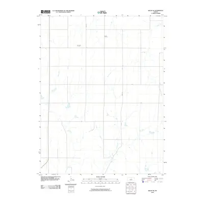
2009 Map of Beloit SE
USGS Topo · Published 2009About this map
Shiloh Cemetery and New Hope Cemetery stand as significant genealogical landmarks in this Mitchell County landscape, reflecting the rural burial traditions of the region. The terrain is defined by the intermittent drainages of Fourth Creek and Fifth Creek, which cut through a strictly organized grid of agricultural roads including Hyde Rd and R Rd. This 2009 survey by the U.S. Geological Survey illustrates a highly systematic land-division pattern characteristic of the Great Plains, where the infrastructure of gravel roads and sections is dictated by the Public Land Survey System. The sparse distribution of named features highlights the open, agrarian nature of this portion of Kansas, where small family-named roads and remote cemeteries provide the primary clues to the local history and settlement patterns of the township.
Find a feature on this map
9 named features on this map. Tap any name to fly to it.
Don’t see what you’re looking for? This feature index may not catch every label — zoom into the map to look around manually.
Map Details
Editions of this 2009 Beloit SE Map
This is the sole edition of this map. No revisions or reprints were ever made.
Other maps of this area

1892 · Minneapolis
USGS Topo · 1:125,000

1894 · Beloit
USGS Topo · 1:125,000

1952 · Glasco SW
USGS Topo · 1:24,000

1953 · Solomon Rapids
USGS Topo · 1:24,000

1953 · Simpson
USGS Topo · 1:24,000

1953 · Beloit
USGS Topo · 1:24,000

1955 · Manhattan
USGS Topo · 1:250,000

1955 · Beloit
USGS Topo · 1:250,000

1956 · Manhattan
USGS Topo · 1:250,000

1957 · Manhattan
USGS Topo · 1:250,000