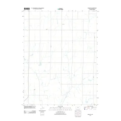
2012 Map of Beloit SE
USGS Topo · Published 2012About this map
Shiloh Cem and New Hope Cem are among the quiet markers of the rural landscape in Mitchell County, which is defined by its agricultural grid and a network of named waterways. This 2012 survey shows a terrain dissected by the drainage of Marshall Cr, Fifth Cr, and the winding path of Fourth Cr. The area is linked by a structured road network including Hyde Rd and S Rd, which facilitate movement between the scattered farmsteads and historic burial grounds. Near the southern edge, Saltville Cem stands as another significant point of interest for local historians. The map also captures the headwaters and tributaries such as W Br Third Cr, reflecting the vital role of these small creek systems in the regional hydrology.
Find a feature on this map
10 named features on this map. Tap any name to fly to it.
Don’t see what you’re looking for? This feature index may not catch every label — zoom into the map to look around manually.
Map Details
Editions of this 2012 Beloit SE Map
This is the sole edition of this map. No revisions or reprints were ever made.
Other maps of this area

1892 · Minneapolis
USGS Topo · 1:125,000

1894 · Beloit
USGS Topo · 1:125,000

1952 · Glasco SW
USGS Topo · 1:24,000

1953 · Solomon Rapids
USGS Topo · 1:24,000

1953 · Simpson
USGS Topo · 1:24,000

1953 · Beloit
USGS Topo · 1:24,000

1955 · Manhattan
USGS Topo · 1:250,000

1955 · Beloit
USGS Topo · 1:250,000

1956 · Manhattan
USGS Topo · 1:250,000

1957 · Manhattan
USGS Topo · 1:250,000