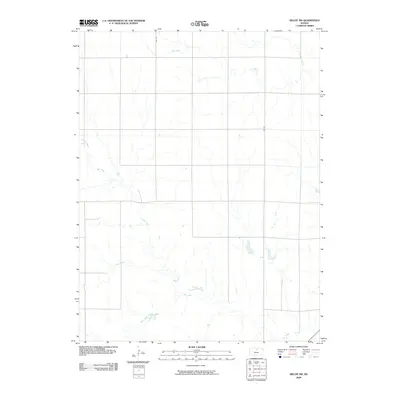
2009 Map of Beloit SW
USGS Topo · Published 2009About this map
Salt Creek meanders through this portion of Mitchell County, defining a landscape dominated by the subtle drainages of the Central Plains. The area's character is shaped by its hydrological network, where Leban Creek and Antelope Creek feed into larger systems, creating a series of natural basins. The transition of the terrain is evident where Little Creek and Rock Creek intersect the grid-iron road network, illustrating how the natural topography dictates the layout of local infrastructure.
Find a feature on this map
7 named features on this map. Tap any name to fly to it.
Don’t see what you’re looking for? This feature index may not catch every label — zoom into the map to look around manually.
Map Details
Editions of this 2009 Beloit SW Map
This is the sole edition of this map. No revisions or reprints were ever made.
Other maps of this area

1894 · Beloit
USGS Topo · 1:125,000

1953 · Solomon Rapids
USGS Topo · 1:24,000

1953 · Glen Elder South
USGS Topo · 1:24,000

1953 · Beloit
USGS Topo · 1:24,000

1955 · Beloit
USGS Topo · 1:250,000

1959 · Beloit
USGS Topo · 1:250,000
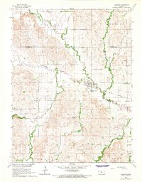
1964 · Barnard
USGS Topo · 1:24,000
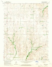
1964 · Beloit SE
USGS Topo · 1:24,000

1968 · Beloit SW
USGS Topo · 1:24,000

1968 · Lincoln NW
USGS Topo · 1:24,000