
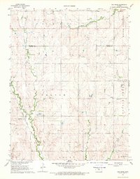
1968 Map of Lincoln NW
USGS Topo · Published 1969About this map
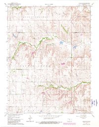
Prairie Grove Cem stands as a focal point for local family history within this central Kansas landscape, situated near the headwaters of numerous seasonal drainages. The area is defined by the complex topography of Round Springs and Battle Creek townships, where the terrain is dissected by Rattlesnake Creek and Salt Cr. The survey captures a moment in the late 1960s when small-scale extraction is evident through several Gravel Pits and a Quarry located along the creek bluffs. The boundary between Mitchell Co and Lincoln Co runs horizontally across the upper third of the map, marking a transition between the northern high ground and the branching valley systems of Scott and Marion townships to the south.
Find a feature on this map
15 named features on this map. Tap any name to fly to it.
Don’t see what you’re looking for? This feature index may not catch every label — zoom into the map to look around manually.
Map Details
Editions of this 1968 Lincoln NW Map
2 editions found
Other maps of this area

1894 · Beloit
USGS Topo · 1:125,000

1955 · Beloit
USGS Topo · 1:250,000

1959 · Beloit
USGS Topo · 1:250,000

1962 · Vesper
USGS Topo · 1:24,000

1962 · Lincoln
USGS Topo · 1:24,000
1963 · Shady Bend
USGS Topo · 1:24,000
1964 · Barnard
USGS Topo · 1:24,000
1964 · Beloit SE
USGS Topo · 1:24,000

1968 · Beloit SW
USGS Topo · 1:24,000
1968 · Ash Grove
USGS Topo · 1:24,000