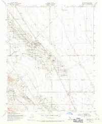
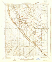
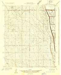
1953 Map of Belridge
USGS Topo · Published 1971About this map
South Belridge Field and the Cymric Oil Field dominate this mid-century industrial landscape in the San Joaquin Valley. The map captures a complex network of resource extraction, characterized by dense grids of pipelines, oil tanks, and pumping stations. Small labor settlements and operational hubs like Lease Camp and Martinez are scattered throughout the oil fields, supported by local infrastructure such as the Belridge Sch.
Find a feature on this map
20 named features on this map. Tap any name to fly to it.
Don’t see what you’re looking for? This feature index may not catch every label — zoom into the map to look around manually.
Map Details
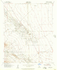
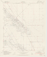
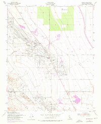
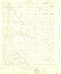
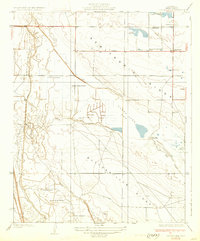
Editions of this 1953 Belridge Map
4 editions found
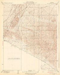
Other maps of this area

1912 · McKittrick
USGS Topo · 1:125,000

1914 · Lost Hills
USGS Topo · 1:125,000
1927 · Semitropic
USGS Topo · 1:31,680
1931 · Lokern
USGS Topo · 1:31,680
1931 · Goose Lake
USGS Topo · 1:31,680
1932 · West Elk Hills
USGS Topo · 1:31,680
1932 · West of Goose Lake
USGS Topo · 1:31,680
1934 · Lokern
USGS Topo · 1:31,680
1934 · West of Goose Lake
USGS Topo · 1:31,680
1942 · Hart Station
USGS Topo · 1:62,500