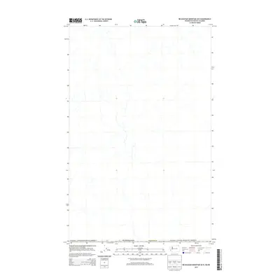
2014 Map of Belshazzar Mountain OE N
USGS Topo · Published 2014About this map
The international border between Canada / United States of America defines this high-latitude survey of the remote northern interior. Centered on the boundary where Washington meets British Columbia, the map illustrates the hydrographic network of the region, emphasizing the drainage patterns within Stevens Co and the adjacent Canadian territory. This 2014 edition captures a landscape largely defined by its natural topography and administrative lines rather than dense settlement, offering a clear view of the wilderness waterways that cross the 49th parallel. It serves as a primary reference for the geographic relationship between these two nations in a less-traveled mountain corridor.
Find a feature on this map
3 named features on this map. Tap any name to fly to it.
Don’t see what you’re looking for? This feature index may not catch every label — zoom into the map to look around manually.
Map Details
Editions of this 2014 Belshazzar Mountain OE N Map
This is the sole edition of this map. No revisions or reprints were ever made.
Other maps of this area

1929 · Colville
USGS Topo · 1:125,000

1933 · Colville
USGS Topo · 1:125,000

1936 · Marcus
USGS Topo · 1:96,000

1942 · Marcus
USGS Topo · 1:125,000

1948 · Orient
USGS Topo · 1:62,500

1951 · Orient
USGS Topo · 1:62,500

1954 · Okanogan
USGS Topo · 1:250,000

1958 · Okanogan
USGS Topo · 1:250,000

1958 · Sandpoint
USGS Topo · 1:250,000

1963 · Sandpoint
USGS Topo · 1:250,000