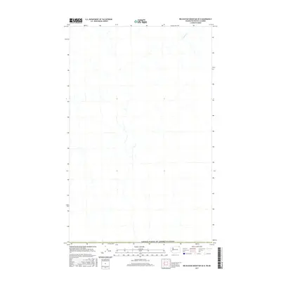
2017 Map of Belshazzar Mountain OE N
USGS Topo · Published 2017About this map
The United States of America/Canada international border anchors the southern edge of this map, reflecting the jurisdictional complexities of the remote boundary lands between Washington and British Columbia. The landscape is defined by its drainage patterns, most notably the winding course of Esling Cr as it flows through the northern reaches of the quadrangle. In this high-elevation region, the hydrography is the primary indicator of the terrain's orientation, with numerous unnamed tributaries carving through the slopes. This 2017 U.S. Geological Survey topographic study captures the area's undeveloped character, where the intersection of national borders and natural watercourses remains the defining feature of the geography.
Find a feature on this map
2 named features on this map. Tap any name to fly to it.
Don’t see what you’re looking for? This feature index may not catch every label — zoom into the map to look around manually.
Map Details
Editions of this 2017 Belshazzar Mountain OE N Map
This is the sole edition of this map. No revisions or reprints were ever made.
Other maps of this area

1929 · Colville
USGS Topo · 1:125,000

1933 · Colville
USGS Topo · 1:125,000

1936 · Marcus
USGS Topo · 1:96,000

1942 · Marcus
USGS Topo · 1:125,000

1948 · Orient
USGS Topo · 1:62,500

1951 · Orient
USGS Topo · 1:62,500

1954 · Okanogan
USGS Topo · 1:250,000

1958 · Okanogan
USGS Topo · 1:250,000

1958 · Sandpoint
USGS Topo · 1:250,000

1963 · Sandpoint
USGS Topo · 1:250,000