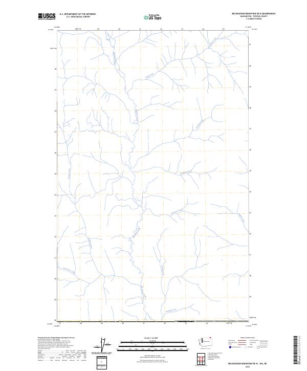
2023 Map of Belshazzar Mountain OE N
USGS Topo · Published 2023About this map
Big Sheep Creek dominates this portion of Stevens County, acting as the primary drainage for a network of tributaries that carve through the northern Washington landscape. This modern hydrographic record illustrates a rugged drainage basin where Big Sheep Creek collects waters from various family-named and local landmarks, including Esling Creek and Freddy Creek in the north. The southern reaches of the quadrangle are defined by the confluence of Santa Rosa Creek and Triumph Creek, highlighting the natural watercourses that have historically shaped the accessibility and settlement patterns of this border region. Though road data is absent from this specific data layer, the density of named streams like Swedberg Creek and Cranston Creek provides an essential foundation for understanding the local topography and historical land use in this section of the Colville National Forest vicinity.
Find a feature on this map
10 named features on this map. Tap any name to fly to it.
Don’t see what you’re looking for? This feature index may not catch every label — zoom into the map to look around manually.
Map Details
Editions of this 2023 Belshazzar Mountain OE N Map
This is the sole edition of this map. No revisions or reprints were ever made.
Other maps of this area

1929 · Colville
USGS Topo · 1:125,000

1933 · Colville
USGS Topo · 1:125,000

1936 · Marcus
USGS Topo · 1:96,000

1942 · Marcus
USGS Topo · 1:125,000

1948 · Orient
USGS Topo · 1:62,500

1951 · Orient
USGS Topo · 1:62,500

1954 · Okanogan
USGS Topo · 1:250,000

1958 · Okanogan
USGS Topo · 1:250,000

1958 · Sandpoint
USGS Topo · 1:250,000

1963 · Sandpoint
USGS Topo · 1:250,000