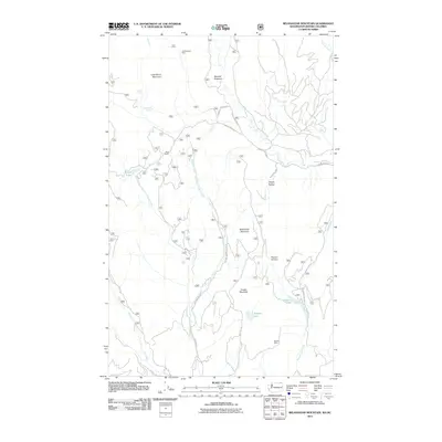
2011 Map of Belshazzar Mountain
USGS Topo · Published 2011About this map
Belshazzar Mountain and Cougar Mountain dominate this Stevens County landscape, where the topography is defined by high ridges and deep drainage basins near the British Columbia border. The presence of the Chief Joseph Mine in the north and the Bullion Mine to the south points to a history of mineral exploration in these highlands. Water sources are frequent throughout the terrain, including Zodiac Spring and Lead Pencil Spring, which feed into various forks of Crown Creek.
Find a feature on this map
30 named features on this map. Tap any name to fly to it.
Don’t see what you’re looking for? This feature index may not catch every label — zoom into the map to look around manually.
Map Details
Editions of this 2011 Belshazzar Mountain Map
This is the sole edition of this map. No revisions or reprints were ever made.
Other maps of this area

1929 · Colville
USGS Topo · 1:125,000

1933 · Colville
USGS Topo · 1:125,000

1936 · Marcus
USGS Topo · 1:96,000

1942 · Marcus
USGS Topo · 1:125,000

1948 · Orient
USGS Topo · 1:62,500

1951 · Orient
USGS Topo · 1:62,500

1954 · Okanogan
USGS Topo · 1:250,000

1958 · Okanogan
USGS Topo · 1:250,000

1958 · Sandpoint
USGS Topo · 1:250,000

1963 · Sandpoint
USGS Topo · 1:250,000